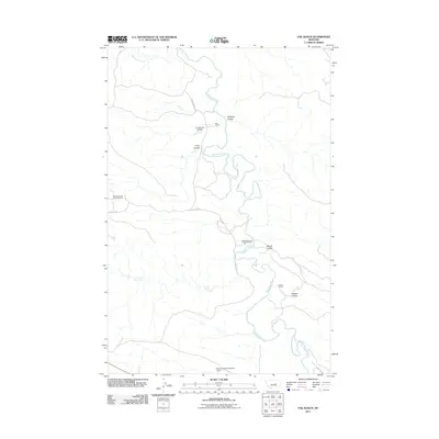
2011 Map of Fail Ranch
USGS Topo · Published 2011About this map
The Musselshell River meanders through this section of Petroleum County, carving a path through a landscape defined by expansive ranching operations and petroleum extraction. Energy production is a central theme of the geography, with the West Dome Cat Creek Oil Field and the Mosby Dome Cat Creek Oil Field positioned near the waterway. These fields reflect the long-standing industrial heritage of the Cat Creek region, where oil discovery in the early 20th century transformed the local economy.
Find a feature on this map
15 named features on this map. Tap any name to fly to it.
Don’t see what you’re looking for? This feature index may not catch every label — zoom into the map to look around manually.
Map Details
Editions of this 2011 Fail Ranch Map
This is the sole edition of this map. No revisions or reprints were ever made.
Other maps of this area

1954 · Jordan
USGS Topo · 1:250,000

1954 · Forsyth
USGS Topo · 1:250,000

1954 · Roundup
USGS Topo · 1:250,000

1954 · Lewistown
USGS Topo · 1:250,000

1956 · Jordan
USGS Topo · 1:250,000

1957 · Forsyth
USGS Topo · 1:250,000

1958 · Jordan
USGS Topo · 1:250,000

1958 · Roundup
USGS Topo · 1:250,000

1958 · Forsyth
USGS Topo · 1:250,000

1959 · Lewistown
USGS Topo · 1:250,000