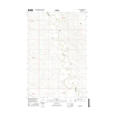
2017 Map of Fail Ranch
USGS Topo · Published 2017About this map
The Musselshell River meanders sharply through this central Montana landscape, defining the boundary between Petroleum and Garfield Counties. This map documents a region characterized by deep drainage systems and ranching operations, centered on the Fail Ranch near the heart of the quadrangle. The terrain is marked by numerous dry coulees, including Wagner Coulee, Williams Coulee, and Jackson Coulee, which channel seasonal runoff toward the river.
Find a feature on this map
19 named features on this map. Tap any name to fly to it.
Don’t see what you’re looking for? This feature index may not catch every label — zoom into the map to look around manually.
Map Details
Editions of this 2017 Fail Ranch Map
This is the sole edition of this map. No revisions or reprints were ever made.
Other maps of this area

1954 · Jordan
USGS Topo · 1:250,000

1954 · Forsyth
USGS Topo · 1:250,000

1954 · Roundup
USGS Topo · 1:250,000

1954 · Lewistown
USGS Topo · 1:250,000

1956 · Jordan
USGS Topo · 1:250,000

1957 · Forsyth
USGS Topo · 1:250,000

1958 · Jordan
USGS Topo · 1:250,000

1958 · Roundup
USGS Topo · 1:250,000

1958 · Forsyth
USGS Topo · 1:250,000

1959 · Lewistown
USGS Topo · 1:250,000