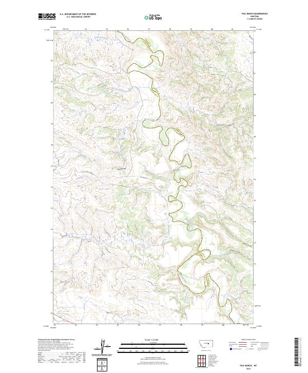
2024 Map of Fail Ranch
USGS Topo · Published 2024About this map
The Musselshell River meanders deeply across this central Montana landscape, forming a natural boundary between Petroleum and Garfield Counties. This modern topographic study reveals a terrain defined by its drainage patterns, where long erosional features like Long Coulee and Williams Coulee carve through the high plains toward the river basin. The industrial character of the region is quietly marked by the presence of Oil Field Rd, indicating the importance of resource extraction in this sparsely populated area of the state. These infrastructure elements, including the historic-themed Stage Rd, provide the primary human imprint on a landscape dominated by the winding paths of Cottonwood Creek and Cat Creek. The map serves as a precise guide to the section lines and township boundaries that organize this part of the American West.
Find a feature on this map
17 named features on this map. Tap any name to fly to it.
Don’t see what you’re looking for? This feature index may not catch every label — zoom into the map to look around manually.
Map Details
Editions of this 2024 Fail Ranch Map
This is the sole edition of this map. No revisions or reprints were ever made.
Other maps of this area

1954 · Jordan
USGS Topo · 1:250,000

1954 · Forsyth
USGS Topo · 1:250,000

1954 · Roundup
USGS Topo · 1:250,000

1954 · Lewistown
USGS Topo · 1:250,000

1956 · Jordan
USGS Topo · 1:250,000

1957 · Forsyth
USGS Topo · 1:250,000

1958 · Jordan
USGS Topo · 1:250,000

1958 · Roundup
USGS Topo · 1:250,000

1958 · Forsyth
USGS Topo · 1:250,000

1959 · Lewistown
USGS Topo · 1:250,000