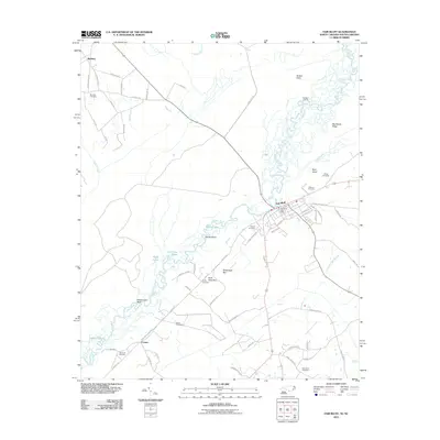
2011 Map of Fair Bluff
USGS Topo · Published 2011About this map
The Lumber River carves a winding path through the borderlands of North Carolina and South Carolina, defining a landscape of wetlands and riverine bluffs. In the town of Fair Bluff, the street grid extends toward the water, where the Fair Bluff Post Office serves as a central landmark near the river's edge. This area is characterized by numerous small bodies of water and swampy depressions, including Deadman Lakes, Heron Lakes, and the uniquely named Sawscapel Bay.
Find a feature on this map
73 named features on this map. Tap any name to fly to it.
Don’t see what you’re looking for? This feature index may not catch every label — zoom into the map to look around manually.
Map Details
Editions of this 2011 Fair Bluff Map
This is the sole edition of this map. No revisions or reprints were ever made.
Other maps of this area

1943 · Pages Mill
USGS Topo · 1:62,500

1948 · Nichols
USGS Topo · 1:24,000

1949 · Duford
USGS Topo · 1:24,000

1950 · Nichols
USGS Topo · 1:24,000

1953 · Chadbourn
USGS Topo · 1:62,500

1953 · Florence
USGS Topo · 1:250,000

1954 · Florence
USGS Topo · 1:250,000

1962 · Fair Bluff
USGS Topo · 1:24,000

1962 · Fairmont
USGS Topo · 1:24,000

1962 · Lake View
USGS Topo · 1:24,000