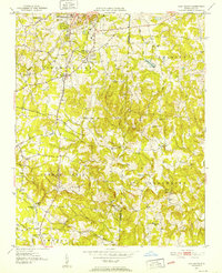
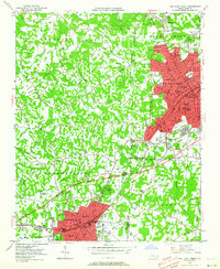
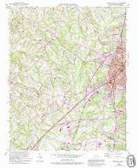
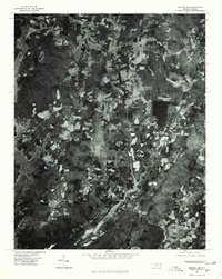
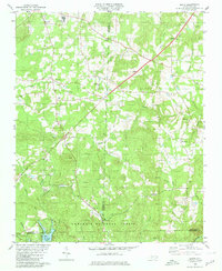
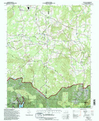
1951 Map of Fair Grove
USGS Topo · Published 1952This historical map portrays the area of Fair Grove in 1951, primarily covering Davidson County as well as portions of Randolph County. Featuring a scale of 1:24000, this map provides a highly detailed snapshot of the terrain, roads, buildings, counties, and historical landmarks in the Fair Grove region at the time. Published in 1952, it is one of 4 known editions of this map due to revisions or reprints.
Find a feature on this map
41 named features on this map. Tap any name to fly to it.
Don’t see what you’re looking for? This feature index may not catch every label — zoom into the map to look around manually.
Map Details
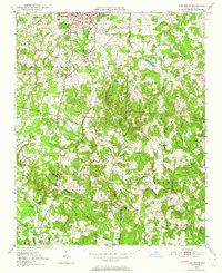
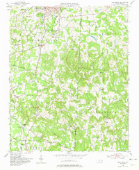
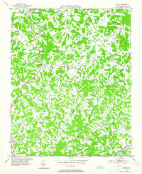
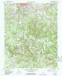
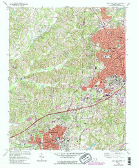
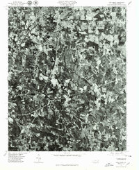
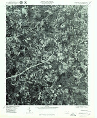
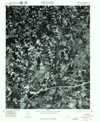
Editions of this 1951 Fair Grove Map
4 editions found
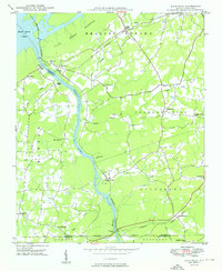
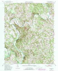
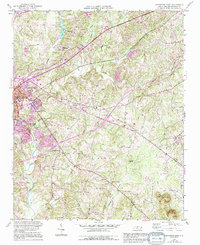
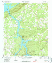
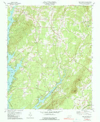
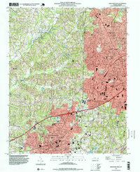
Historical Maps of Walser Through Time
26 maps found

1949 Denton NW
Davidson County, NC
1949 Eller
Davidson County, NC
1949 High Point West
Davidson County, NC
1949 High Rock
Davidson County, NC
1950 Churchland
Davidson County, NC
1950 Lexington East
Davidson County, NC
1950 Lexington West
Davidson County, NC

1951 Churchland
Davidson County, NC
1951 Fair Grove
Davidson County, NC

1951 Lexington East
Davidson County, NC

1951 Lexington West
Davidson County, NC
1969 High Point West
Davidson County, NC
1977 Churchland
Davidson County, NC
1977 Denton NW
Davidson County, NC
1977 Fair Grove
Davidson County, NC

1977 High Point West
Davidson County, NC

1977 High Rock
Davidson County, NC
1977 Lexington East
Davidson County, NC
1977 Lexington West
Davidson County, NC
1980 Handy
Davidson County, NC
1980 High Rock
Davidson County, NC
1981 Grist Mountain
Davidson County, NC
1993 High Point West
Davidson County, NC
1994 Handy
Davidson County, NC
1994 High Rock
Davidson County, NC
2000 Churchland
Davidson County, NC