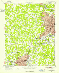
1951 Map of Fair Grove
USGS Topo · Published 1964About this map
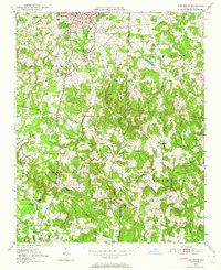
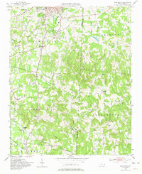
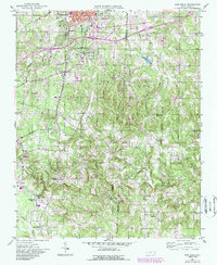
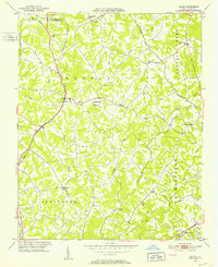
Thomasville anchors the northern portion of this landscape, where the High Point Thomasville and Denton railroad line carves a path through the rolling terrain toward the southern settlements of Walser and Gordontown. The early 1950s environment is characterized by a high density of rural religious and community centers, including Liberty Ch and Emanuel Ch. Along the banks of the Little Uwharrie River, small-scale industry and commerce are evident at Fuller Mill and Loflin Store. The map illustrates the transition from the industrial outskirts of the city to the agrarian townships of Tabernacle and Emmons, revealing a complex network of family cemeteries and church-centered communities like Fair Grove and Glen Anna that define the local social geography during this post-war era.
Find a feature on this map
40 named features on this map. Tap any name to fly to it.
Don’t see what you’re looking for? This feature index may not catch every label — zoom into the map to look around manually.
Map Details
Editions of this 1951 Fair Grove Map
4 editions found
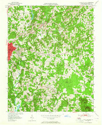
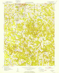
Other maps of this area

1949 · Denton NW
USGS Topo · 1:24,000
1949 · Eller
USGS Topo · 1:24,000
1949 · High Point West
USGS Topo · 1:24,000
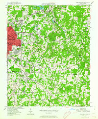
1950 · High Point East
USGS Topo · 1:24,000
1950 · Lexington East
USGS Topo · 1:24,000

1951 · Lexington East
USGS Topo · 1:24,000

1951 · High Point East
USGS Topo · 1:24,000
1951 · Fair Grove
USGS Topo · 1:24,000

1953 · Raleigh
USGS Topo · 1:250,000

1953 · Charlotte
USGS Topo · 1:250,000