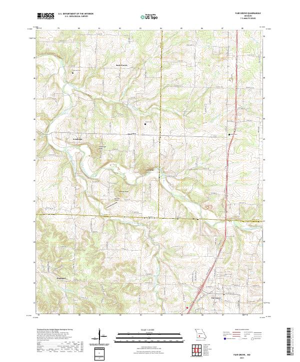
2021 Map of Fair Grove
USGS Topo · Published 2021About this map
Fair Grove serves as the primary hub in this southwest Missouri landscape, situated where the Pomme de Terre River and Little Pomme de Terre River begin their winding courses northward. The terrain is defined by a series of prominent elevations, including Goodnight Knob, Lucas Knob, and Henley Knob, which rise above the agricultural fields and rural road networks. Historically significant nodes like Rock Prairie, Tin Town, and Goodnight reflect the dispersed settlement patterns typical of the Ozarks fringe, often centered around family farms and local crossroads.
Find a feature on this map
55 named features on this map. Tap any name to fly to it.
Don’t see what you’re looking for? This feature index may not catch every label — zoom into the map to look around manually.
Map Details
Editions of this 2021 Fair Grove Map
This is the sole edition of this map. No revisions or reprints were ever made.
Other maps of this area

1884 · Springfield
USGS Topo · 1:125,000

1884 · Bolivar
USGS Topo · 1:125,000

1886 · Springfield
USGS Topo · 1:125,000

1892 · Bolivar
USGS Topo · 1:125,000

1946 · Bassville
USGS Topo · 1:24,000

1947 · Strafford
USGS Topo · 1:62,500

1948 · Bassville
USGS Topo · 1:24,000

1948 · Ebenezer
USGS Topo · 1:24,000

1948 · Strafford
USGS Topo · 1:62,500

1954 · Springfield
USGS Topo · 1:250,000