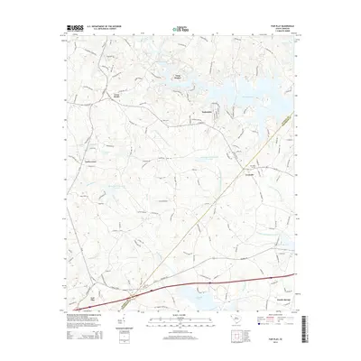
2014 Map of Fair Play
USGS Topo · Published 2014About this map
Townville and the surrounding borderlands of Anderson and Oconee Counties are defined by the intricate shoreline of Hartwell Lake, which dominates the eastern and southern portions of the landscape. The interior is characterized by a network of rural settlements and family-named landmarks, reflecting a persistent agricultural and residential structure. In the north, Cross Roads and Snug Harbor sit above the finger-like inlets of Coneross Creek, while the southwestern corner features the established community of Fair Play. Genealogists will find significant value in the distribution of local burial sites, including Townville Cem, Hays Cem, and Snowhill Cem. The mapping of small water bodies like Keaslers Pond and Mitchells Lake, alongside the various forks of Beaverdam Cr, illustrates the drainage patterns that shaped local land use and property boundaries long before the arrival of the modern interstate and lake developments.
Find a feature on this map
138 named features on this map. Tap any name to fly to it.
Don’t see what you’re looking for? This feature index may not catch every label — zoom into the map to look around manually.
Map Details
Editions of this 2014 Fair Play Map
This is the sole edition of this map. No revisions or reprints were ever made.
Other maps of this area

1886 · Walhalla
USGS Topo · 1:125,000

1888 · Pickens
USGS Topo · 1:125,000

1891 · Carnesville
USGS Topo · 1:125,000

1892 · Walhalla
USGS Topo · 1:125,000

1893 · Elberton
USGS Topo · 1:125,000

1894 · Pickens
USGS Topo · 1:125,000

1896 · Walhalla
USGS Topo · 1:125,000

1950 · La France
USGS Topo · 1:24,000

1951 · La France
USGS Topo · 1:24,000

1951 · Clemson
USGS Topo · 1:24,000