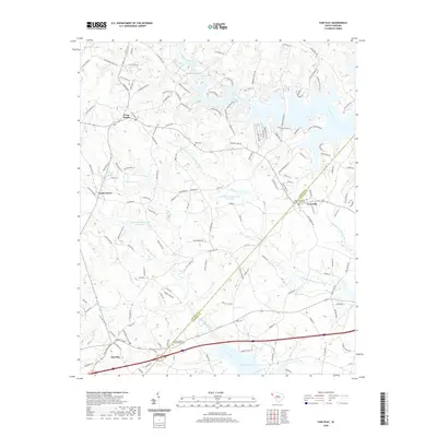
2020 Map of Fair Play
USGS Topo · Published 2020About this map
Townville and Fair Play anchor this Piedmont landscape, which is defined by the dendritic fingers of Hartwell Lake and its numerous tributaries. The geography reflects the significant transition from small-scale agriculture to water management and recreational use, with several controlled basins like Beaverdam Watershed Five Lake and Beaverdam Watershed Four Lake scattered across the terrain.
Find a feature on this map
148 named features on this map. Tap any name to fly to it.
Don’t see what you’re looking for? This feature index may not catch every label — zoom into the map to look around manually.
Map Details
Editions of this 2020 Fair Play Map
This is the sole edition of this map. No revisions or reprints were ever made.
Other maps of this area

1886 · Walhalla
USGS Topo · 1:125,000

1888 · Pickens
USGS Topo · 1:125,000

1891 · Carnesville
USGS Topo · 1:125,000

1892 · Walhalla
USGS Topo · 1:125,000

1893 · Elberton
USGS Topo · 1:125,000

1894 · Pickens
USGS Topo · 1:125,000

1896 · Walhalla
USGS Topo · 1:125,000

1950 · La France
USGS Topo · 1:24,000

1951 · La France
USGS Topo · 1:24,000

1951 · Clemson
USGS Topo · 1:24,000