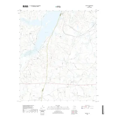
2019 Map of Fair Play
USGS Topo · Published 2019About this map
The eastern shores of Martin Lake dominate the northwestern portion of this East Texas survey, where the landscape transitions into a network of creeks and family-named landmarks along the Rusk Co and Panola Co line. The settlement of Liberty sits just east of the lake, serving as a focal point for a rural region defined by its timbered drainages and cemetery sites.
Find a feature on this map
67 named features on this map. Tap any name to fly to it.
Don’t see what you’re looking for? This feature index may not catch every label — zoom into the map to look around manually.
Map Details
Editions of this 2019 Fair Play Map
This is the sole edition of this map. No revisions or reprints were ever made.
Other maps of this area

1956 · Tyler
USGS Topo · 1:250,000
1958 · Darco
USGS Topo · 1:62,500
1958 · Carthage
USGS Topo · 1:62,500
1958 · Tatum
USGS Topo · 1:62,500
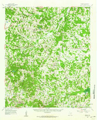
1960 · Minden
USGS Topo · 1:62,500
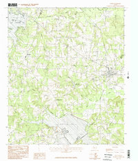
1983 · Tatum
USGS Topo · 1:24,000
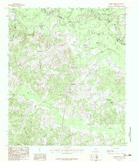
1983 · Harris Chapel
USGS Topo · 1:24,000
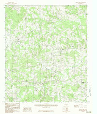
1983 · Church Hill
USGS Topo · 1:24,000
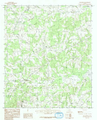
1983 · Long Branch
USGS Topo · 1:24,000
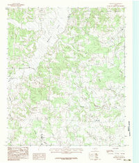
1983 · Fair Play
USGS Topo · 1:24,000