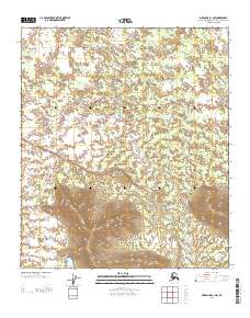
2013 Map of Fairbanks B-1 NW
USGS Topo · Published 2013About this map
Dry Creek meanders through the central and southern portions of this landscape, marking the primary drainage system in this interior Alaskan quadrangle. The topography transitions from broad, low-lying drainage basins in the north to significant upland terrain in the southern half of the sheet, where contour lines tighten around several prominent hills. This survey illustrates a largely undeveloped wilderness within the Fairbanks North Star Borough, where the lack of roads or established structures highlights the preservation of natural hydrological patterns. Local history researchers can trace the precise flow of Dry Creek across the township lines of T 5 S and T 6 S, providing a clear picture of the land's natural state in the early 21st century.
Find a feature on this map
3 named features on this map. Tap any name to fly to it.
Don’t see what you’re looking for? This feature index may not catch every label — zoom into the map to look around manually.
Map Details
Editions of this 2013 Fairbanks B-1 NW Map
This is the sole edition of this map. No revisions or reprints were ever made.
Other maps of this area

1949 · Fairbanks C-1
USGS Topo · 1:63,360

1949 · Fairbanks C-2
USGS Topo · 1:63,360

1950 · Fairbanks
USGS Topo · 1:250,000

1950 · Fairbanks C-1
USGS Topo · 1:63,360

1950 · Fairbanks B-2
USGS Topo · 1:63,360

1950 · Fairbanks B-1
USGS Topo · 1:63,360
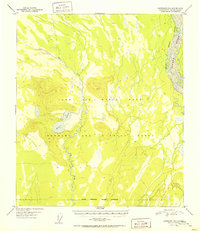
1951 · Fairbanks B-1
USGS Topo · 1:63,360
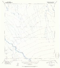
1951 · Fairbanks B-2
USGS Topo · 1:63,360

1951 · Fairbanks
USGS Topo · 1:250,000

1952 · Fairbanks C-2
USGS Topo · 1:63,360