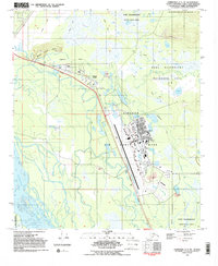
1992 Map of Fairbanks C-1 NE
USGS Topo · Published 1992About this map
Eielson Air Force Base dominates the central landscape of this 1992 Alaskan survey, showcasing the complex infrastructure of the airfield alongside residential areas like Trailer Parks and schools such as Anderson Sch and Pennel Sch. The industrial and logistical character of the Fairbanks North Star Borough is evident in the presence of the Trans-Alaska Pipeline and the Richardson Highway, which cut through the terrain to connect the settlements of Moose Creek and Bluff.
Find a feature on this map
28 named features on this map. Tap any name to fly to it.
Don’t see what you’re looking for? This feature index may not catch every label — zoom into the map to look around manually.
Map Details
Editions of this 1992 Fairbanks C-1 NE Map
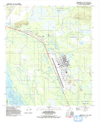
2 editions found
Other maps of this area

1949 · Fairbanks D-1
USGS Topo · 1:62,500

1949 · Fairbanks C-1
USGS Topo · 1:63,360

1949 · Big Delta C-6
USGS Topo · 1:63,360

1950 · Fairbanks
USGS Topo · 1:250,000

1950 · Big Delta
USGS Topo · 1:250,000

1950 · Big Delta D-6
USGS Topo · 1:63,360

1950 · Fairbanks C-1
USGS Topo · 1:63,360

1951 · Big Delta
USGS Topo · 1:250,000

1951 · Fairbanks
USGS Topo · 1:250,000

1952 · Big Delta C-6
USGS Topo · 1:63,360