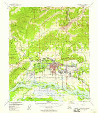
1955 Map of Fairbanks D-2
USGS Topo · Published 1958About this map
Fairbanks serves as the focal point of this mid-century survey, showing the city's development between the Chena River and Noyes Slough. The expansion of Ladd Air Force Base dominates the landscape to the east, complete with its extensive Bombing and Gunnery Range stretching south toward the Tanana River. The map documents a critical era of growth for the University of Alaska at College, and the arrival of early aviation infrastructure at the International Airport and Phillips Field.
Find a feature on this map
77 named features on this map. Tap any name to fly to it.
Don’t see what you’re looking for? This feature index may not catch every label — zoom into the map to look around manually.
Map Details
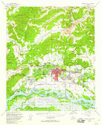
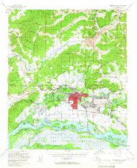
Editions of this 1955 Fairbanks D-2 Map
3 editions found
Other maps of this area

1945 · Livengood
USGS Topo · 1:250,000

1949 · Fairbanks D-1
USGS Topo · 1:62,500

1949 · Fairbanks D-2
USGS Topo · 1:62,500

1949 · Fairbanks C-1
USGS Topo · 1:63,360

1949 · Fairbanks D-3
USGS Topo · 1:63,360

1949 · Fairbanks C-2
USGS Topo · 1:63,360

1950 · Fairbanks
USGS Topo · 1:250,000

1950 · Fairbanks C-3
USGS Topo · 1:63,360

1950 · Fairbanks C-1
USGS Topo · 1:63,360

1950 · Fairbanks D-3
USGS Topo · 1:63,360