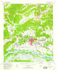
1955 Map of Fairbanks D-2
USGS Topo · Published 1960About this map
The growing interior hub of Fairbanks is centered between the Chena River and Noyes Slough during this mid-century period. Settlement patterns radiate from the urban core toward neighborhoods like Lemeta, Slaterville, and Hamilton Acres, while the University of Alaska anchors the nearby community of College. The landscape is defined by the heavy footprint of the Ladd Air Force Base, which occupies a large swathe of land south of the river, complete with a dedicated Bombing and Gunnery Range extending toward the Salchaket Slough.
Find a feature on this map
77 named features on this map. Tap any name to fly to it.
Don’t see what you’re looking for? This feature index may not catch every label — zoom into the map to look around manually.
Map Details
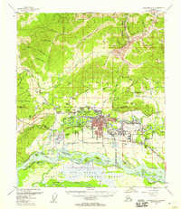
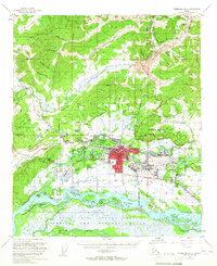
Editions of this 1955 Fairbanks D-2 Map
3 editions found
Other maps of this area

1945 · Livengood
USGS Topo · 1:250,000

1949 · Fairbanks D-1
USGS Topo · 1:62,500

1949 · Fairbanks D-2
USGS Topo · 1:62,500

1949 · Fairbanks C-1
USGS Topo · 1:63,360

1949 · Fairbanks D-3
USGS Topo · 1:63,360

1949 · Fairbanks C-2
USGS Topo · 1:63,360

1950 · Fairbanks
USGS Topo · 1:250,000

1950 · Fairbanks C-3
USGS Topo · 1:63,360

1950 · Fairbanks C-1
USGS Topo · 1:63,360

1950 · Fairbanks D-3
USGS Topo · 1:63,360