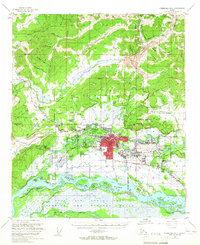
1955 Map of Fairbanks D-2
USGS Topo · Published 1960About this map
Fairbanks serves as the focal point of this mid-1950s interior Alaska survey, appearing as a growing urban hub where the Alaska Railroad meets the Chena River. The map captures the significant military and academic presence that defined the era, including the sprawling Ladd Air Force Base and the University of Alaska campus at College. Residential expansion is evident in neighborhoods like Hamilton Acres, Aurora Garden, and Lemeta, while industrial activity is represented by various gold mines and the Ladd Air Force Bombing and Gunnery Range to the south.
Find a feature on this map
89 named features on this map. Tap any name to fly to it.
Don’t see what you’re looking for? This feature index may not catch every label — zoom into the map to look around manually.
Map Details
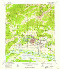
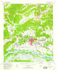
Editions of this 1955 Fairbanks D-2 Map
3 editions found
Other maps of this area

1945 · Livengood
USGS Topo · 1:250,000

1949 · Fairbanks D-1
USGS Topo · 1:62,500

1949 · Fairbanks D-2
USGS Topo · 1:62,500

1949 · Fairbanks C-1
USGS Topo · 1:63,360

1949 · Fairbanks D-3
USGS Topo · 1:63,360

1949 · Fairbanks C-2
USGS Topo · 1:63,360

1950 · Fairbanks
USGS Topo · 1:250,000

1950 · Fairbanks C-3
USGS Topo · 1:63,360

1950 · Fairbanks C-1
USGS Topo · 1:63,360

1950 · Fairbanks D-3
USGS Topo · 1:63,360