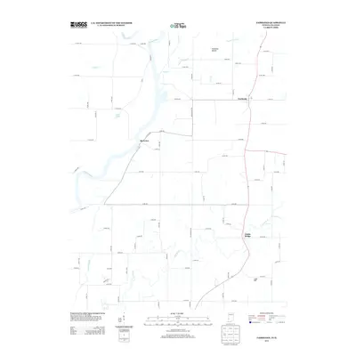
2013 Map of Fairbanks
USGS Topo · Published 2013About this map
The Wabash River serves as a natural boundary along the western edge of this 2013 survey, winding past the small settlements of Riverview and Dodds Bridge. The landscape is defined by its complex drainage network, where Snyder Cr, Prairie Cr, and Welsh Cr feed toward the river valley. Notable terrain features like Fairbanks Mound and Ladd Hill provide localized elevation in an area otherwise characterized by agricultural road grids and riparian corridors. To the east, the community of Fairbanks sits at a key junction of regional roads, including the historical corridor of Old Kentucky Rd. Water bodies such as Ingle Pond and the serpentine path of Turman Cr illustrate the hydrological character of the Indiana-Illinois borderlands during the early 21st century.
Find a feature on this map
66 named features on this map. Tap any name to fly to it.
Don’t see what you’re looking for? This feature index may not catch every label — zoom into the map to look around manually.
Map Details
Editions of this 2013 Fairbanks Map
This is the sole edition of this map. No revisions or reprints were ever made.
Other maps of this area

1932 · Marshall
USGS Topo · 1:62,500

1937 · Marshall
USGS Topo · 1:62,500

1940 · Pimento
USGS Topo · 1:24,000

1942 · Fairbanks
USGS Topo · 1:24,000

1942 · Shelburn
USGS Topo · 1:24,000

1942 · Hutton
USGS Topo · 1:24,000

1943 · Merom
USGS Topo · 1:24,000

1943 · Sullivan
USGS Topo · 1:24,000

1952 · Fairbanks
USGS Topo · 1:24,000

1952 · Shelburn
USGS Topo · 1:24,000