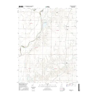
2016 Map of Fairbanks
USGS Topo · Published 2016About this map
The Wabash River carves a deep boundary between Indiana and Illinois in this 2016 survey, defining the western edge of Sullivan County. Along the river's eastern banks, the small settlement of Riverview sits near the winding waterway, while the township hub of Fairbanks occupies higher ground to the east. The landscape is deeply tied to its rural heritage, as evidenced by several family and community burial sites like DeBaun Cem, Riggs-Ernest Cem, and Walnut Prairie Cem. Significant hydrological features like Turman Creek, Kelley Bayou, and Prairie Creek drain the surrounding agricultural lands toward the Wabash.
Find a feature on this map
54 named features on this map. Tap any name to fly to it.
Don’t see what you’re looking for? This feature index may not catch every label — zoom into the map to look around manually.
Map Details
Editions of this 2016 Fairbanks Map
This is the sole edition of this map. No revisions or reprints were ever made.
Other maps of this area

1932 · Marshall
USGS Topo · 1:62,500

1937 · Marshall
USGS Topo · 1:62,500

1940 · Pimento
USGS Topo · 1:24,000

1942 · Fairbanks
USGS Topo · 1:24,000

1942 · Shelburn
USGS Topo · 1:24,000

1942 · Hutton
USGS Topo · 1:24,000

1943 · Merom
USGS Topo · 1:24,000

1943 · Sullivan
USGS Topo · 1:24,000

1952 · Fairbanks
USGS Topo · 1:24,000

1952 · Shelburn
USGS Topo · 1:24,000