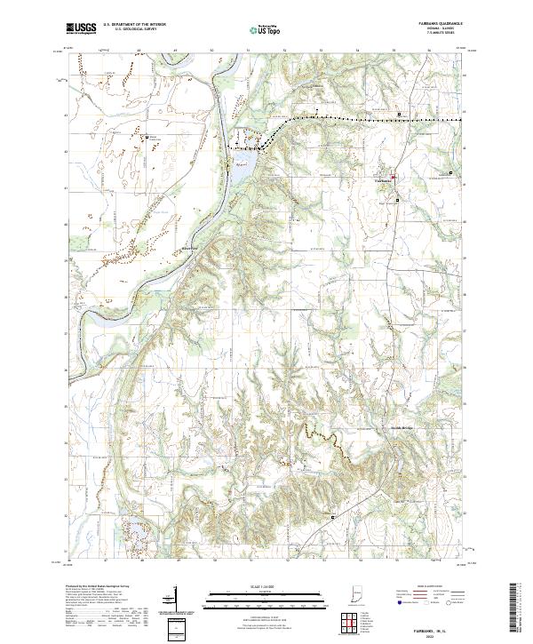
2022 Map of Fairbanks
USGS Topo · Published 2022About this map
The Wabash River serves as the prominent divider on this landscape, marking the historic boundary between Illinois and Indiana. The river's floodplain is dotted with features like Ingle Pond and Kelley Bayou, transitioning into the elevated terrain of Fairbanks Mound and Ladd Hill to the east. This area of Sullivan County is characterized by a network of rural roads connecting small hubs like Fairbanks, Riverview, and Dodds Bridge.
Find a feature on this map
81 named features on this map. Tap any name to fly to it.
Don’t see what you’re looking for? This feature index may not catch every label — zoom into the map to look around manually.
Map Details
Editions of this 2022 Fairbanks Map
This is the sole edition of this map. No revisions or reprints were ever made.
Other maps of this area

1932 · Marshall
USGS Topo · 1:62,500

1937 · Marshall
USGS Topo · 1:62,500

1940 · Pimento
USGS Topo · 1:24,000

1942 · Fairbanks
USGS Topo · 1:24,000

1942 · Shelburn
USGS Topo · 1:24,000

1942 · Hutton
USGS Topo · 1:24,000

1943 · Merom
USGS Topo · 1:24,000

1943 · Sullivan
USGS Topo · 1:24,000

1952 · Fairbanks
USGS Topo · 1:24,000

1952 · Shelburn
USGS Topo · 1:24,000