1942 Map of Fairbanks
USGS Topo · Published 1942About this map
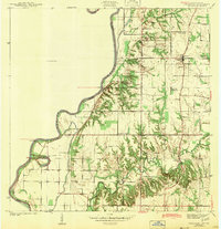
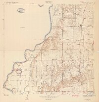
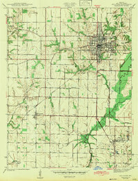
The Wabash River serves as the winding western boundary of this 1940 survey, carving a path through the borderlands between Indiana and Illinois. The landscape is characterized by its reliance on water-level transport and the historical traces of its earliest inhabitants, evidenced by an Indian Mound and several Indian Mounds overlooking the drainage of Prairie Creek. Near the small settlement of Fairbanks, the interior is a grid of country roads and family burial grounds, including the Pogue Cem and De Baun Cem. Before modern bridges dominated the crossing, the river was navigated via the York Ferry and Narrows Ferry. These transit points, alongside the Harrison Trail and Old Kentucky Road, reflect the vital early infrastructure that connected these rural farming communities to the wider Wabash valley trade networks.
Find a feature on this map
32 named features on this map. Tap any name to fly to it.
Don’t see what you’re looking for? This feature index may not catch every label — zoom into the map to look around manually.
Map Details
Editions of this 1942 Fairbanks Map
2 editions found
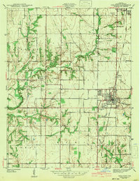
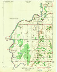
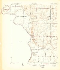
Other maps of this area
1932 · Marshall
USGS Topo · 1:62,500
1937 · Marshall
USGS Topo · 1:62,500
1940 · Pimento
USGS Topo · 1:24,000
1942 · Fairbanks
USGS Topo · 1:24,000
1942 · Shelburn
USGS Topo · 1:24,000
1942 · Hutton
USGS Topo · 1:24,000
1943 · Merom
USGS Topo · 1:24,000
1943 · Sullivan
USGS Topo · 1:24,000
1952 · Fairbanks
USGS Topo · 1:24,000
1952 · Shelburn
USGS Topo · 1:24,000