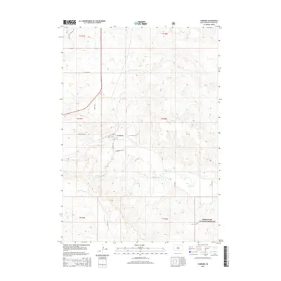
2015 Map of Fairburn
USGS Topo · Published 2015About this map
Fairburn sits at the heart of this landscape, where the local road network of 1st St, 2nd St, and 3rd St defines the small settlement. To the east, the Fairburn Cem rests near the drainage of French Cr, a waterway that winds across the central and southern sections of the quadrangle. The terrain is marked by a series of intermittent streams, including Dry Creek, which cut through the northern townships of t3s r7e and t3s r8e.
Find a feature on this map
25 named features on this map. Tap any name to fly to it.
Don’t see what you’re looking for? This feature index may not catch every label — zoom into the map to look around manually.
Map Details
Editions of this 2015 Fairburn Map
This is the sole edition of this map. No revisions or reprints were ever made.
Other maps of this area

1894 · Hermosa
USGS Topo · 1:125,000

1901 · Hermosa
USGS Topo · 1:125,000

1951 · Fairburn SE
USGS Topo · 1:24,000

1953 · Hermosa
USGS Topo · 1:24,000

1953 · Hermosa SE
USGS Topo · 1:24,000

1954 · Hayward
USGS Topo · 1:24,000

1954 · Mount Rushmore
USGS Topo · 1:62,500

1955 · Hot Springs
USGS Topo · 1:250,000
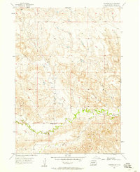
1957 · Fairburn NE
USGS Topo · 1:24,000
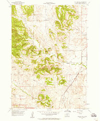
1957 · Butcher Hill
USGS Topo · 1:24,000