
Loading...
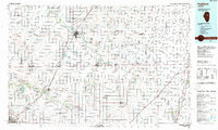
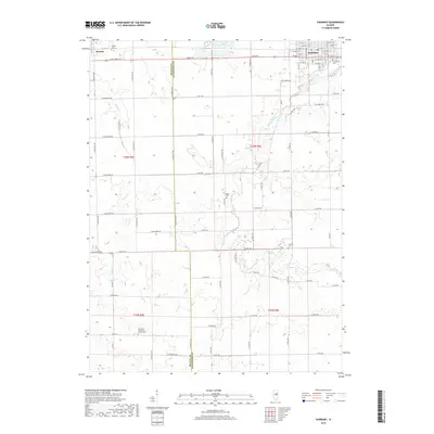
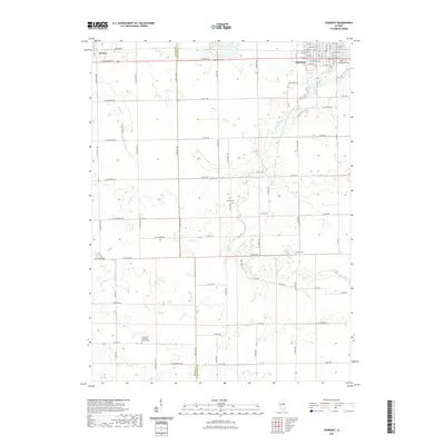
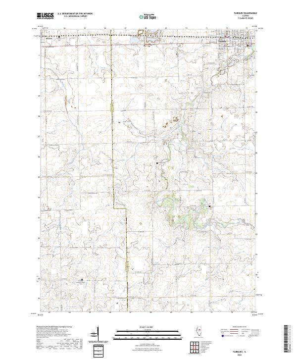
Loading map...2001 Map of Fairbury
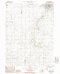
USGS Topo · Published 2003About this map
Fairbury serves as the primary hub in this corner of Livingston County, appearing here alongside the smaller settlement of Weston to the west. The landscape is defined by the winding course of Indian Creek, which meanders through Indian Grove and into Belle Prairie. This agricultural region is punctuated by essential community infrastructure, including the local Fairgrounds, a Park, and a Golf Course situated on the outskirts of town.
Find a feature on this map
18 named features on this map. Tap any name to fly to it.
Don’t see what you’re looking for? This feature index may not catch every label — zoom into the map to look around manually.
Map Details
Date Portrayed2001
Date Published2003
PublisherU.S. Geological Survey
Map TypeTopographic
Scale1:24,000
Physical Dimensions22 x 26.9 inches
Editions of this 2001 Fairbury Map
This is the sole edition of this map. No revisions or reprints were ever made.
Historical Maps of Fairbury Through Time
8 maps found
Featured Locations
Source Details
SourceU.S. Geological Survey
CopyrightPublic Domain