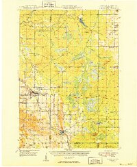
1949 Map of Fairchild
USGS Topo · Published 1949About this map
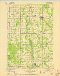
Fairchild and Humbird anchor this mid-century look at the borderlands of Eau Claire, Clark, and Jackson Counties. The landscape is defined by the Chicago and North Western railroad corridor and a network of distinct geographic markers, from the Humbird Bluff to the Twin Mound & Fire Tower. Small, rural schoolhouses like Melville Sch, Blackberry Sch, and Lone Pine Sch are scattered across the townships, revealing the decentralized community structure before school consolidation.
Find a feature on this map
56 named features on this map. Tap any name to fly to it.
Don’t see what you’re looking for? This feature index may not catch every label — zoom into the map to look around manually.
Map Details
Editions of this 1949 Fairchild Map
This is the sole edition of this map. No revisions or reprints were ever made.
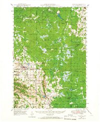
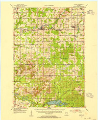
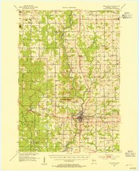
Other maps of this area

1924 · Black River Falls
USGS Topo · 1:62,500

1926 · Black River Falls
USGS Topo · 1:62,500

1927 · Blair
USGS Topo · 1:62,500

1935 · Osseo
USGS Topo · 1:48,000

1940 · Osseo
USGS Topo · 1:62,500
1948 · Fairchild
USGS Topo · 1:62,500
1952 · Cadott
USGS Topo · 1:62,500

1952 · Stanley
USGS Topo · 1:62,500
1953 · Neillsville
USGS Topo · 1:62,500
1953 · Owen
USGS Topo · 1:48,000