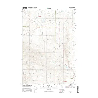
2015 Map of Fairchild
USGS Topo · Published 2015About this map
Fairchild and Humbird anchor the landscape where the borders of Eau Claire, Jackson, and Clark counties converge. The terrain is defined by a network of small waterways, including McGavery Cr and Schoolhouse Cr in the north, while Halls Cr and its eastern fork drain the southern sections. This 2015 edition provides a contemporary record of these Wisconsin communities, showing the established grid of Fairchild and the smaller cluster of Humbird near the foot of Humbird Bluff.
Find a feature on this map
76 named features on this map. Tap any name to fly to it.
Don’t see what you’re looking for? This feature index may not catch every label — zoom into the map to look around manually.
Map Details
Editions of this 2015 Fairchild Map
This is the sole edition of this map. No revisions or reprints were ever made.
Other maps of this area

1924 · Black River Falls
USGS Topo · 1:62,500

1926 · Black River Falls
USGS Topo · 1:62,500

1927 · Blair
USGS Topo · 1:62,500

1935 · Osseo
USGS Topo · 1:48,000

1940 · Osseo
USGS Topo · 1:62,500

1948 · Fairchild
USGS Topo · 1:62,500

1949 · Fairchild
USGS Topo · 1:62,500

1953 · Eau Claire
USGS Topo · 1:250,000

1958 · Eau Claire
USGS Topo · 1:250,000

1964 · Eau Claire
USGS Topo · 1:250,000