Loading...
Loading map...2022 Map of Fairchild
USGS Topo · Published 2022About this map
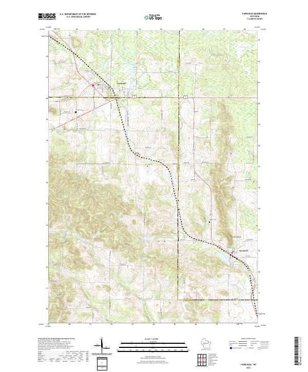
Fairchild sits at the intersection of several regional boundaries, where the corners of Eau Claire, Jackson, and Clark Counties meet. This geography defines the landscape, with the Buffalo River State Trail following an established corridor through the village. The terrain transitions from the lowlands of Fairchild Pond and Black Creek in the north to the more prominent relief of Humbird Bluff near the village of Humbird to the southeast.
Find a feature on this map
70 named features on this map. Tap any name to fly to it.
Don’t see what you’re looking for? This feature index may not catch every label — zoom into the map to look around manually.
Map Details
Date Portrayed2022
Date Published2022
PublisherU.S. Geological Survey
Map TypeTopographic
Scale1:24000
Physical Dimensions24 x 29 inches
Editions of this 2022 Fairchild Map
This is the sole edition of this map. No revisions or reprints were ever made.
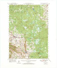
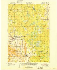
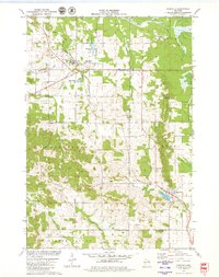
Historical Maps of Humbird Through Time
4 maps found
Featured Locations
Source Details
SourceU.S. Geological Survey
CopyrightPublic Domain