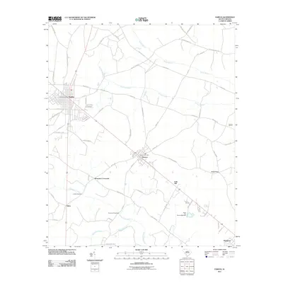
2011 Map of Fairfax
USGS Topo · Published 2011About this map
The town of Fairfax and neighboring Brunson anchor this Lowcountry landscape in the early 21st century, linked by a transportation corridor that bisects the region. The map reveals a land defined by its drainages, where the Caw Caw Swamp and the Coosawhatchie River dictate the placement of roads and crossings. Local industrial history is preserved through labels for the Harrison Sawmill and Halls Mill, reflecting the long-standing importance of timber and milling to the Allendale County economy.
Find a feature on this map
65 named features on this map. Tap any name to fly to it.
Don’t see what you’re looking for? This feature index may not catch every label — zoom into the map to look around manually.
Map Details
Editions of this 2011 Fairfax Map
This is the sole edition of this map. No revisions or reprints were ever made.
Other maps of this area

1918 · Varnville
USGS Topo · 1:62,500

1919 · Olar
USGS Topo · 1:62,500

1919 · Allendale
USGS Topo · 1:62,500

1920 · Peeples
USGS Topo · 1:62,500

1943 · Olar
USGS Topo · 1:62,500

1943 · Allendale
USGS Topo · 1:62,500

1943 · Peeples
USGS Topo · 1:62,500

1944 · Varnville
USGS Topo · 1:62,500

1947 · Savannah
USGS Topo · 1:250,000

1948 · Savannah
USGS Topo · 1:250,000