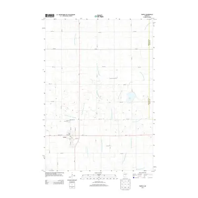
2013 Map of Fairfax
USGS Topo · Published 2013About this map
Fairfax serves as the primary hub for this agricultural portion of Renville County, situated at the intersection of MN-4 and MN-19. The town center is detailed with local infrastructure including the Post Office and residential streets such as Lincoln Ave W and 3rd Ave SE. North of the main settlement, a cluster of local history is preserved at Saint Andrews Cem and Saint Johns Cem.
Find a feature on this map
40 named features on this map. Tap any name to fly to it.
Don’t see what you’re looking for? This feature index may not catch every label — zoom into the map to look around manually.
Map Details
Editions of this 2013 Fairfax Map
This is the sole edition of this map. No revisions or reprints were ever made.
Other maps of this area

1952 · Morton
USGS Topo · 1:62,500

1953 · Morgan
USGS Topo · 1:62,500

1953 · New Ulm
USGS Topo · 1:250,000

1957 · New Ulm
USGS Topo · 1:250,000

1958 · New Ulm
USGS Topo · 1:250,000

1964 · Fairfax
USGS Topo · 1:24,000

1964 · Sleepy Eye NW
USGS Topo · 1:24,000

1964 · Buffalo Lake
USGS Topo · 1:24,000

1964 · Hector
USGS Topo · 1:24,000

1964 · St George
USGS Topo · 1:24,000