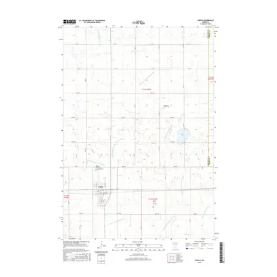
2016 Map of Fairfax
USGS Topo · Published 2016About this map
The settlement of Fairfax anchors this Renville County landscape, situated near the southwestern edge of a highly organized agricultural grid. The terrain is defined by an intricate network of water management, illustrated by numerous engineered channels such as County Ditch Number One Hundred and Judicial Ditch Number Eight. These features, alongside Round Lake, reveal the intensive drainage efforts required to sustain the region's productive farmland.
Find a feature on this map
35 named features on this map. Tap any name to fly to it.
Don’t see what you’re looking for? This feature index may not catch every label — zoom into the map to look around manually.
Map Details
Editions of this 2016 Fairfax Map
This is the sole edition of this map. No revisions or reprints were ever made.
Other maps of this area

1952 · Morton
USGS Topo · 1:62,500

1953 · Morgan
USGS Topo · 1:62,500

1953 · New Ulm
USGS Topo · 1:250,000

1957 · New Ulm
USGS Topo · 1:250,000

1958 · New Ulm
USGS Topo · 1:250,000

1964 · Fairfax
USGS Topo · 1:24,000

1964 · Sleepy Eye NW
USGS Topo · 1:24,000

1964 · Buffalo Lake
USGS Topo · 1:24,000

1964 · Hector
USGS Topo · 1:24,000

1964 · St George
USGS Topo · 1:24,000