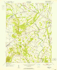
1951 Map of Fairfield
USGS Topo · Published 1953About this map
The western edges of Gettysburg National Military Park define the eastern boundary of this mid-century topographic record, where the terrain shifts from the high ridges of the battlefield toward the agricultural valleys of western Adams County. The Western Maryland railroad cuts across the northern landscape, supporting small station settlements like McKnightstown Sta and Orrtanna. This area preserves a dense network of early rural institutions, including the Liberty Hall Sch and several remote schools such as Pitzer Sch and McCleary Sch.
Find a feature on this map
54 named features on this map. Tap any name to fly to it.
Don’t see what you’re looking for? This feature index may not catch every label — zoom into the map to look around manually.
Map Details
Editions of this 1951 Fairfield Map
7 editions found
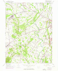
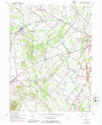
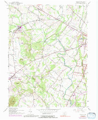
Other maps of this area

1908 · Gettysburg
USGS Topo · 1:62,500

1909 · Fairfield
USGS Topo · 1:62,500

1911 · Taneytown
USGS Topo · 1:62,500

1911 · Emmitsburg
USGS Topo · 1:62,500

1942 · Gettysburg
USGS Topo · 1:125,000

1943 · Emmitsburg
USGS Topo · 1:62,500

1944 · Gettysburg
USGS Topo · 1:31,680

1944 · Flat Ridge
USGS Topo · 1:31,680
1944 · Blue Ridge Summit
USGS Topo · 1:31,680

1944 · Arendtsville
USGS Topo · 1:31,680
Featured Places
- Fairfield, PA
- Franklin Township, PA
- Hamiltonban Township, PA
- Cumberland Township, PA
- Liberty Township, PA