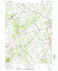
1951 Map of Fairfield
USGS Topo · Published 1986About this map
Marsh Creek and its many tributaries, including Little Marsh Creek and Muddy Run, carve through the rolling farmland and orchards of western Adams County. This landscape is deeply connected to the 1863 conflict, as seen in the presence of Herr Ridge and the western edge of Gettysburg National Military Park. Historic structures like the Black Horse Tavern and several rural schoolhouses, such as Liberty Hall Sch and McCurdy Sch, speak to the deep-rooted settlement patterns of Highland and Liberty townships.
Find a feature on this map
48 named features on this map. Tap any name to fly to it.
Don’t see what you’re looking for? This feature index may not catch every label — zoom into the map to look around manually.
Map Details
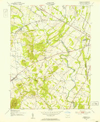
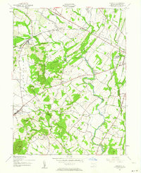
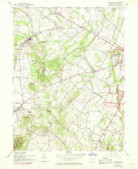
Editions of this 1951 Fairfield Map
7 editions found
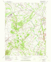
Other maps of this area

1908 · Gettysburg
USGS Topo · 1:62,500

1909 · Fairfield
USGS Topo · 1:62,500

1911 · Taneytown
USGS Topo · 1:62,500

1911 · Emmitsburg
USGS Topo · 1:62,500

1942 · Gettysburg
USGS Topo · 1:125,000

1943 · Emmitsburg
USGS Topo · 1:62,500

1944 · Gettysburg
USGS Topo · 1:31,680

1944 · Flat Ridge
USGS Topo · 1:31,680
1944 · Blue Ridge Summit
USGS Topo · 1:31,680

1944 · Arendtsville
USGS Topo · 1:31,680
Featured Places
- Fairfield, PA
- Franklin Township, PA
- Hamiltonban Township, PA
- Cumberland Township, PA
- Liberty Township, PA