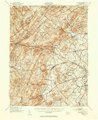
1951 Map of Fairfield
USGS Topo · Published 1954About this map
The rugged eastern slopes of the South Mountain range dominate this 1951 landscape, where the Michaux State Forest and a series of state game refuges cover much of the high ground. The Appalachian Trail winds along the ridge tops past landmarks like Snowy Mtn and Chimney Rocks, while the lowlands to the east transition into the productive orchard country surrounding Arendtsville and Biglerville. The rail-and-road network of the Western Maryland railroad corridor connects industrial and agricultural sites, including the historic Maria Furnace and several specialized stations.
Find a feature on this map
135 named features on this map. Tap any name to fly to it.
Don’t see what you’re looking for? This feature index may not catch every label — zoom into the map to look around manually.
Map Details
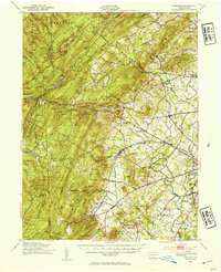
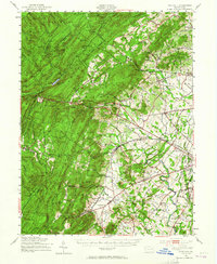
Editions of this 1951 Fairfield Map
3 editions found
Other maps of this area

1902 · Chambersburg
USGS Topo · 1:62,500

1904 · Carlisle
USGS Topo · 1:62,500

1908 · Gettysburg
USGS Topo · 1:62,500

1909 · Fairfield
USGS Topo · 1:62,500

1909 · Hagerstown
USGS Topo · 1:48,000

1911 · Taneytown
USGS Topo · 1:62,500

1911 · Emmitsburg
USGS Topo · 1:62,500

1912 · Hagerstown
USGS Topo · 1:62,500

1919 · Newville
USGS Topo · 1:62,500

1923 · Shippensburg
USGS Topo · 1:62,500