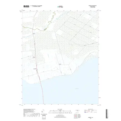
2019 Map of Fairfield
USGS Topo · Published 2019About this map
Fairfield sits at the northern edge of the massive Lake Mattamuskeet, where the hydrologic engineering of coastal North Carolina is on full display. This landscape is defined by an intricate grid of artificial waterways, including the Pungo River Alligator River Canal and the Intracoastal Waterway, which facilitate drainage and transport through the low-lying wetlands of Hyde County. The settlement patterns follow these narrow corridors, with roads like Canal St and Church St mirroring the linear paths of the Fairfield Canal and other cuts such as Burus Canal and Carters Canal.
Find a feature on this map
22 named features on this map. Tap any name to fly to it.
Don’t see what you’re looking for? This feature index may not catch every label — zoom into the map to look around manually.
Map Details
Editions of this 2019 Fairfield Map
This is the sole edition of this map. No revisions or reprints were ever made.
Other maps of this area

1943 · Columbia
USGS Topo · 1:125,000

1951 · Middletown
USGS Topo · 1:24,000

1951 · Engelhard West
USGS Topo · 1:24,000

1951 · New Holland
USGS Topo · 1:24,000

1951 · Swanquarter
USGS Topo · 1:24,000

1951 · Fairfield
USGS Topo · 1:24,000

1951 · New Lake SE
USGS Topo · 1:24,000

1953 · Fairfield NE
USGS Topo · 1:24,000

1953 · Fairfield NW
USGS Topo · 1:24,000

1953 · Rocky Mount
USGS Topo · 1:250,000