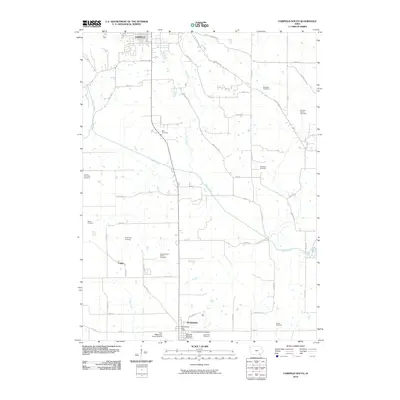
2010 Map of Fairfield South
USGS Topo · Published 2010About this map
Birmingham sits at the southern edge of this Jefferson County landscape, serving as a hub for local families with several dedicated burial grounds including the Methodist Episcopal Cemetery, United Presbyterian Cemetery, and Maple Hill Cemetery. The area is characterized by a dense network of family-named landmarks and historical sites, such as the Galliher Family Cemetery and Clinkenbeard Family Cemetery, which provide significant value for genealogical research. Northward toward Fairfield, the terrain is drained by the winding course of Cedar Creek, which is joined by tributaries like Troy Creek and Little Creek.
Find a feature on this map
55 named features on this map. Tap any name to fly to it.
Don’t see what you’re looking for? This feature index may not catch every label — zoom into the map to look around manually.
Map Details
Editions of this 2010 Fairfield South Map
This is the sole edition of this map. No revisions or reprints were ever made.
Other maps of this area

1954 · Centerville
USGS Topo · 1:250,000

1954 · Des Moines
USGS Topo · 1:250,000

1956 · Des Moines
USGS Topo · 1:250,000

1957 · Des Moines
USGS Topo · 1:250,000

1957 · Centerville
USGS Topo · 1:250,000

1958 · Centerville
USGS Topo · 1:250,000

1958 · Burlington
USGS Topo · 1:250,000

1958 · Davenport
USGS Topo · 1:250,000

1961 · Burlington
USGS Topo · 1:250,000

1961 · Davenport
USGS Topo · 1:250,000