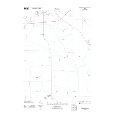
2013 Map of Fairfield South
USGS Topo · Published 2013About this map
The southern outskirts of Fairfield transition into a landscape of meandering waterways and agricultural corridors in this Jefferson County study. The primary drainage is defined by Cedar Cr, which flows across the quadrangle, joined by smaller tributaries like Troy Cr and Little Cr. The rural character of the area is anchored by the small settlement of Collett and the community of Birmingham at the southern map edge, where the Free Methodist Camp Ground is located near W Cedar St.
Find a feature on this map
79 named features on this map. Tap any name to fly to it.
Don’t see what you’re looking for? This feature index may not catch every label — zoom into the map to look around manually.
Map Details
Editions of this 2013 Fairfield South Map
This is the sole edition of this map. No revisions or reprints were ever made.
Other maps of this area

1954 · Centerville
USGS Topo · 1:250,000

1954 · Des Moines
USGS Topo · 1:250,000

1956 · Des Moines
USGS Topo · 1:250,000

1957 · Des Moines
USGS Topo · 1:250,000

1957 · Centerville
USGS Topo · 1:250,000

1958 · Centerville
USGS Topo · 1:250,000

1958 · Burlington
USGS Topo · 1:250,000

1958 · Davenport
USGS Topo · 1:250,000

1961 · Burlington
USGS Topo · 1:250,000

1961 · Davenport
USGS Topo · 1:250,000