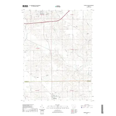
2018 Map of Fairfield South
USGS Topo · Published 2018About this map
Fairfield anchors the northern reaches of this territory, where the grid of city streets like S Main St and E Buchanan Ave meets the agricultural expanse of Jefferson County. The landscape is deeply carved by the meandering path of Cedar Creek, which flows southeast toward the border of Van Buren County. This area is notably dense with small, localized burial sites that offer a map of early settlement patterns and family heritage, including the Clinkenbeard Family Cem and the Galliher Family Cem. To the south, the village of Birmingham sits near the confluence of local history and rural life, flanked by the Maple Hill Cem and United Presbyterian Cem. The presence of the County Poor Farm Cem west of the creek provides a specific look into the civic history and social structures of the region in earlier generations.
Find a feature on this map
88 named features on this map. Tap any name to fly to it.
Don’t see what you’re looking for? This feature index may not catch every label — zoom into the map to look around manually.
Map Details
Editions of this 2018 Fairfield South Map
This is the sole edition of this map. No revisions or reprints were ever made.
Other maps of this area

1954 · Centerville
USGS Topo · 1:250,000

1954 · Des Moines
USGS Topo · 1:250,000

1956 · Des Moines
USGS Topo · 1:250,000

1957 · Des Moines
USGS Topo · 1:250,000

1957 · Centerville
USGS Topo · 1:250,000

1958 · Centerville
USGS Topo · 1:250,000

1958 · Burlington
USGS Topo · 1:250,000

1958 · Davenport
USGS Topo · 1:250,000

1961 · Burlington
USGS Topo · 1:250,000

1961 · Davenport
USGS Topo · 1:250,000