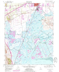
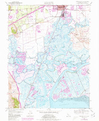
1949 Map of Fairfield South
USGS Topo · Published 1985About this map
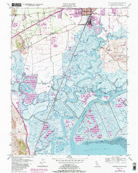
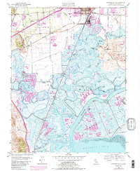
The marshy lowlands of the Suisun region define this landscape, where the tidal network of Suisun Slough and Montezuma Slough meets the northern reaches of Grizzly Bay. In the mid-20th century, this area was a critical intersection of rail and water transport, served by both the Southern Pacific and Sacramento Northern railroads. While Fairfield and Suisun City anchor the northern edge with urban development including Armijo H S and the Crescent Sch, the southern expanse is dominated by private hunting clubs and conservation efforts within the State Game Refuge.
Find a feature on this map
84 named features on this map. Tap any name to fly to it.
Don’t see what you’re looking for? This feature index may not catch every label — zoom into the map to look around manually.
Map Details
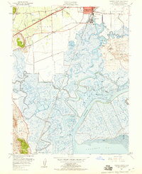
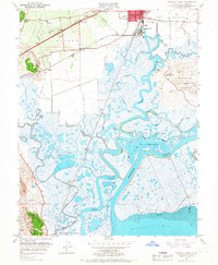
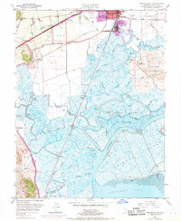
Editions of this 1949 Fairfield South Map
7 editions found
Other maps of this area

1896 · Carquinez Strait
USGS Topo · 1:62,500

1898 · Karquines
USGS Topo · 1:62,500

1901 · Karquines
USGS Topo · 1:62,500

1902 · Napa
USGS Topo · 1:125,000

1907 · Antioch
USGS Topo · 1:62,500

1908 · Vacaville
USGS Topo · 1:62,500

1908 · Antioch
USGS Topo · 1:62,500

1917 · Elmira
USGS Topo · 1:31,680

1918 · Honker Bay
USGS Topo · 1:31,680
1918 · Denverton
USGS Topo · 1:31,680