
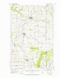
1954 Map of Fairfield
USGS Topo · Published 1956About this map
Fairfield and Rockford serve as the primary hubs in this agricultural and timber landscape of eastern Washington, just west of the Idaho border. The region's transport network is defined by three major rail lines—the Great Northern, Union Pacific, and the Chicago Milwaukee St Paul and Pacific—which cross the terrain to connect small settlements like Waverly and Latah. These tracks follow the natural contours of the Rock Creek Valley and Latah Creek, illustrating the vital role of railroads in the mid-century economy of Spokane County.
Find a feature on this map
57 named features on this map. Tap any name to fly to it.
Don’t see what you’re looking for? This feature index may not catch every label — zoom into the map to look around manually.
Map Details
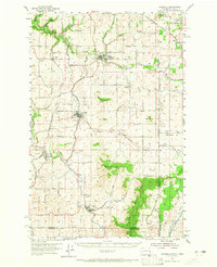
Editions of this 1954 Fairfield Map
3 editions found
Other maps of this area

1901 · Spokane
USGS Topo · 1:125,000

1903 · Oakesdale
USGS Topo · 1:125,000

1903 · Rathdrum
USGS Topo · 1:125,000

1905 · Oakesdale
USGS Topo · 1:125,000

1949 · Greenacres
USGS Topo · 1:62,500

1950 · Spokane SE
USGS Topo · 1:24,000

1950 · Spokane
USGS Topo · 1:62,500

1951 · Greenacres
USGS Topo · 1:62,500

1954 · Spangle
USGS Topo · 1:62,500

1955 · Spokane
USGS Topo · 1:250,000