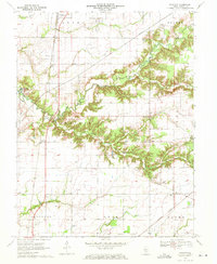
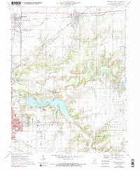
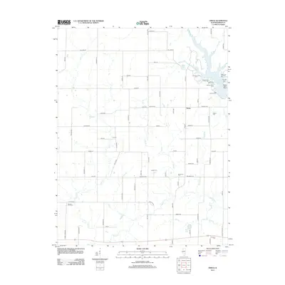
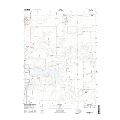
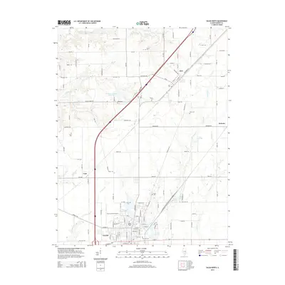
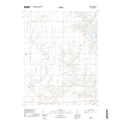
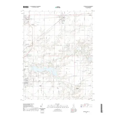
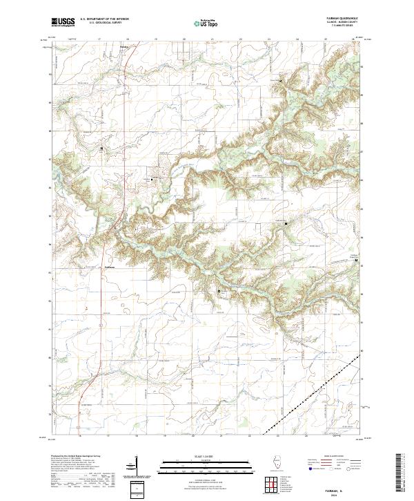
1970 Map of Fairman
USGS Topo · Published 1971About this map
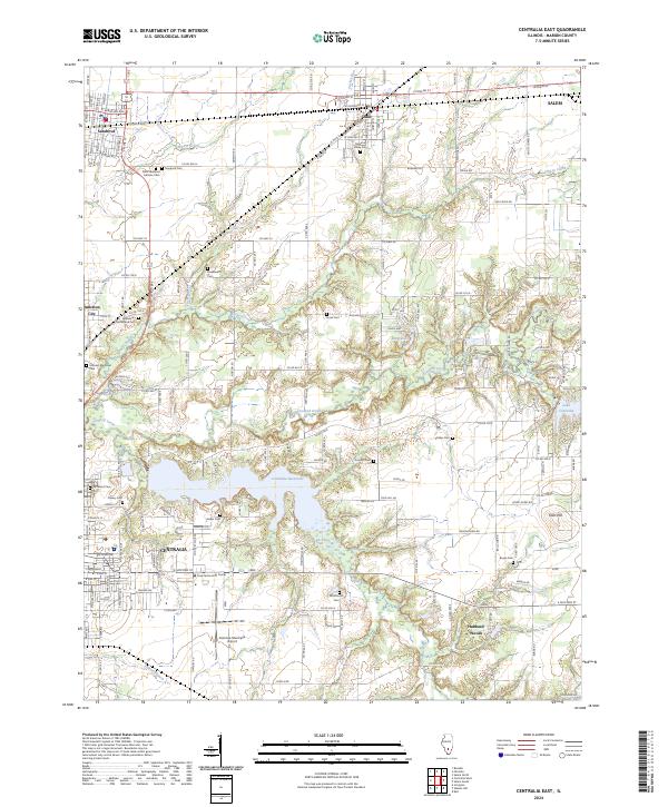
The Kaskaskia River and its winding tributaries, including Marshall Creek and Lost Creek, dominate the central landscape of this Marion County region. In the early 1970s, the area remained a productive hub for the petroleum industry, evidenced by the extensive Patoka East Oil Field and Patoka South Oil Field. The Illinois Central railroad cuts a north-south line through the western sections, connecting the settlements of Patoka and Fairman.
Find a feature on this map
40 named features on this map. Tap any name to fly to it.
Don’t see what you’re looking for? This feature index may not catch every label — zoom into the map to look around manually.
Map Details
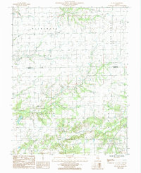
Editions of this 1970 Fairman Map
This is the sole edition of this map. No revisions or reprints were ever made.
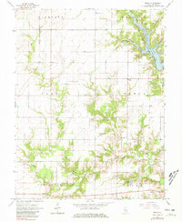
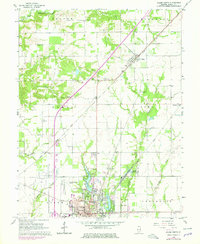
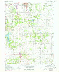
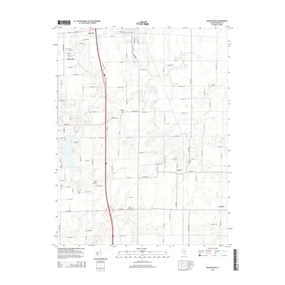
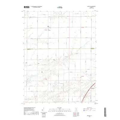
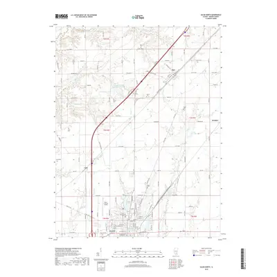
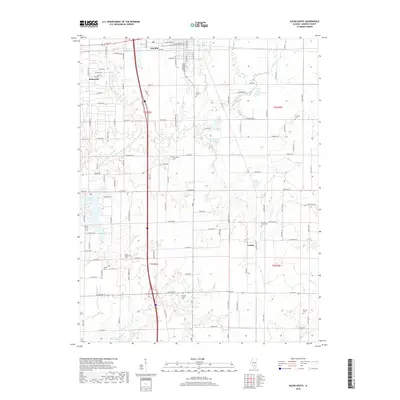
Historical Maps of Salem Through Time
36 maps found
1965 Omega
Marion County, IL
1965 Salem North
Marion County, IL
1965 Salem South
Marion County, IL
1970 Centralia East
Marion County, IL
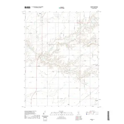
1970 Fairman
Marion County, IL
1985 St. Paul
Marion County, IL
2012 Centralia East
Marion County, IL
2012 Fairman
Marion County, IL
2012 Omega
Marion County, IL
2012 Saint Paul
Marion County, IL
2012 Salem North
Marion County, IL
2012 Salem South
Marion County, IL
2015 Centralia East
Marion County, IL
2015 Fairman
Marion County, IL
2015 Omega
Marion County, IL
2015 Saint Paul
Marion County, IL
2015 Salem North
Marion County, IL
2015 Salem South
Marion County, IL
2018 Centralia East
Marion County, IL
2018 Fairman
Marion County, IL
2018 Omega
Marion County, IL
2018 Saint Paul
Marion County, IL
2018 Salem North
Marion County, IL
2018 Salem South
Marion County, IL
2021 Centralia East
Marion County, IL
2021 Fairman
Marion County, IL
2021 Omega
Marion County, IL
2021 Saint Paul
Marion County, IL
2021 Salem North
Marion County, IL
2021 Salem South
Marion County, IL
2024 Centralia East
Marion County, IL
2024 Fairman
Marion County, IL
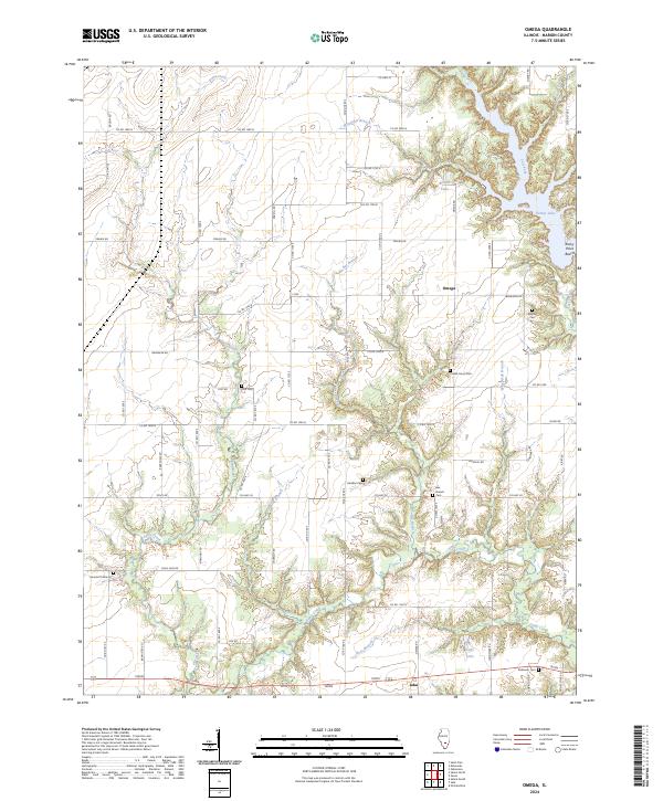
2024 Omega
Marion County, IL
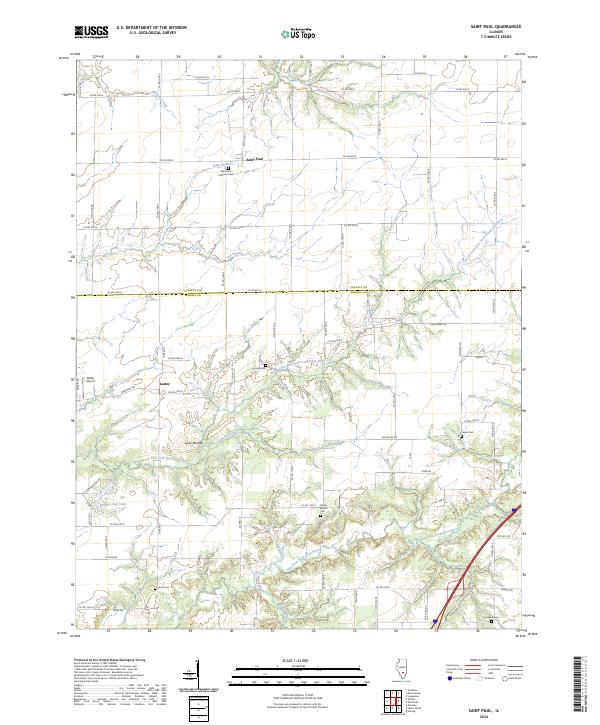
2024 Saint Paul
Marion County, IL
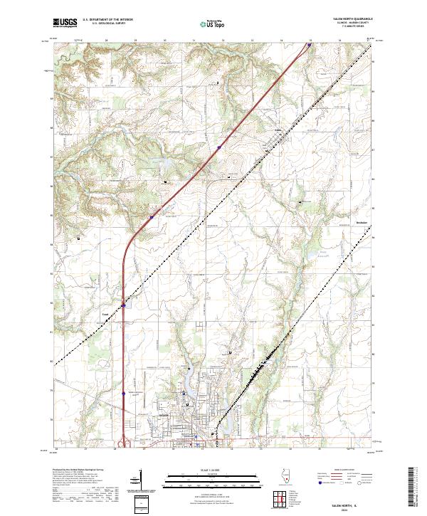
2024 Salem North
Marion County, IL
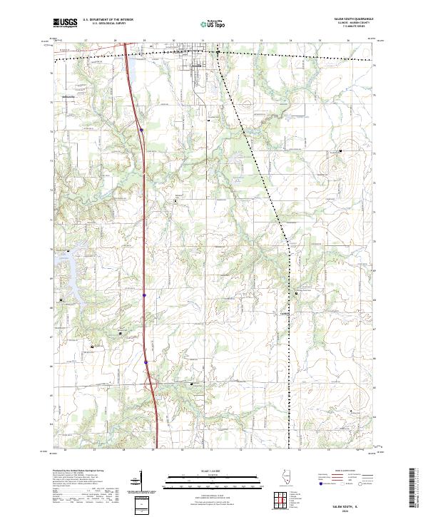
2024 Salem South
Marion County, IL