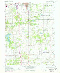
1965 Map of Salem South
USGS Topo · Published 1978About this map
Salem anchors this mid-century landscape where agricultural land meets industrial and recreational expansion. The area is defined by a dense network of country roads connecting local landmarks like Young Chapel, Bethlehem Ch, and Mt Moriah Ch. These rural spiritual centers, along with numerous family cemeteries such as Paradise Cem and Antioch Cem, provide deep points of interest for genealogists tracing Marion County roots.
Find a feature on this map
45 named features on this map. Tap any name to fly to it.
Don’t see what you’re looking for? This feature index may not catch every label — zoom into the map to look around manually.
Map Details
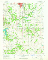
Editions of this 1965 Salem South Map
2 editions found
Other maps of this area

1914 · Centralia
USGS Topo · 1:62,500

1933 · Mount Vernon
USGS Topo · 1:48,000

1934 · Salem
USGS Topo · 1:62,500

1935 · Centralia
USGS Topo · 1:62,500

1938 · Salem
USGS Topo · 1:62,500

1940 · Mount Vernon
USGS Topo · 1:62,500

1943 · Ashley
USGS Topo · 1:62,500

1946 · Ashley
USGS Topo · 1:62,500

1958 · Belleville
USGS Topo · 1:250,000

1962 · Belleville
USGS Topo · 1:250,000