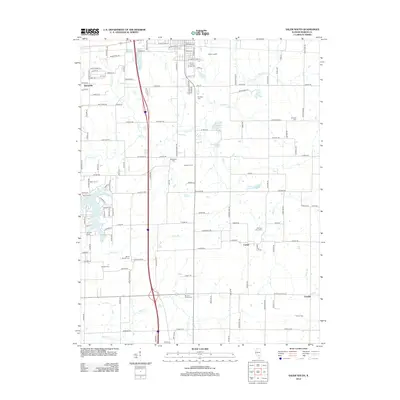
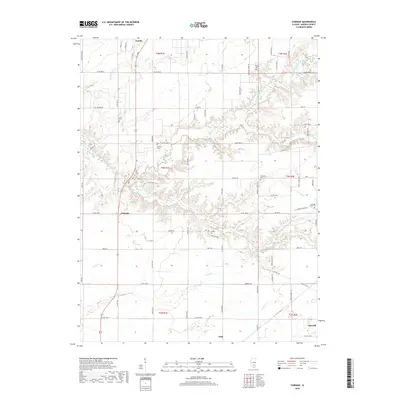
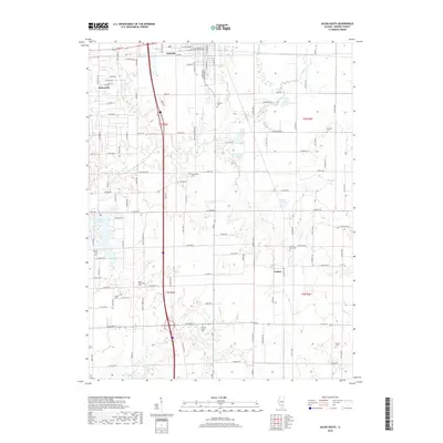
1965 Map of Omega
USGS Topo · Published 1981About this map
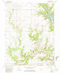
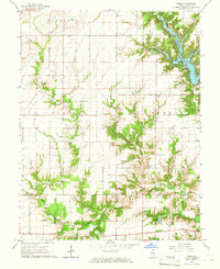
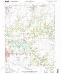
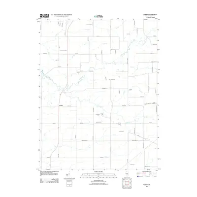
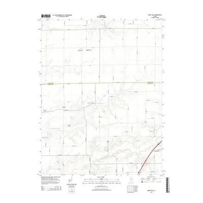
Forbes State Lake dominates the northeastern corner of this Marion County landscape, its irregular shoreline reaching into the drainage of Rocky Branch and Phillips Br. The map reveals a rural settlement pattern defined by small family cemeteries and country churches situated along the ridge lines and creek valleys. Notable sites for local history include Yost Cem, Hadden Cem, and Millican Cem, alongside several houses of worship such as Lovells Grove Ch and Summit Prairie Ch. Industrial activity is marked by scattered Oil Wells and stone Quarries, while the southern reaches near Neffs Lake are carved by the many tributaries of Dums Creek, including Bear Branch and Winter Creek. The village of Omega sits at a crossroads, serving as a central point for the surrounding townships of Meacham, Alma, and Stevenson.
Find a feature on this map
36 named features on this map. Tap any name to fly to it.
Don’t see what you’re looking for? This feature index may not catch every label — zoom into the map to look around manually.
Map Details
Editions of this 1965 Omega Map
2 editions found
Historical Maps of Iuka Through Time
36 maps found
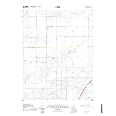
1965 Omega
Marion County, IL
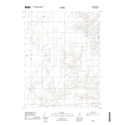
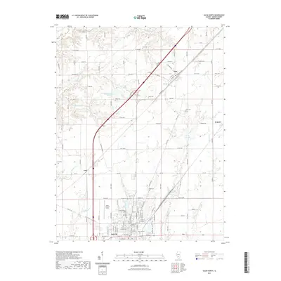
1965 Salem North
Marion County, IL
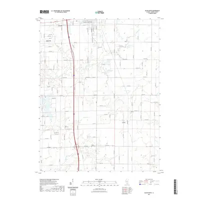
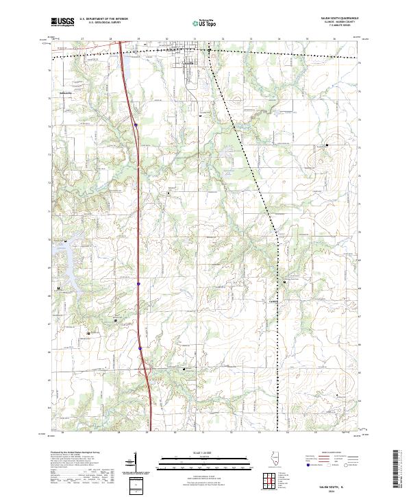
1965 Salem South
Marion County, IL
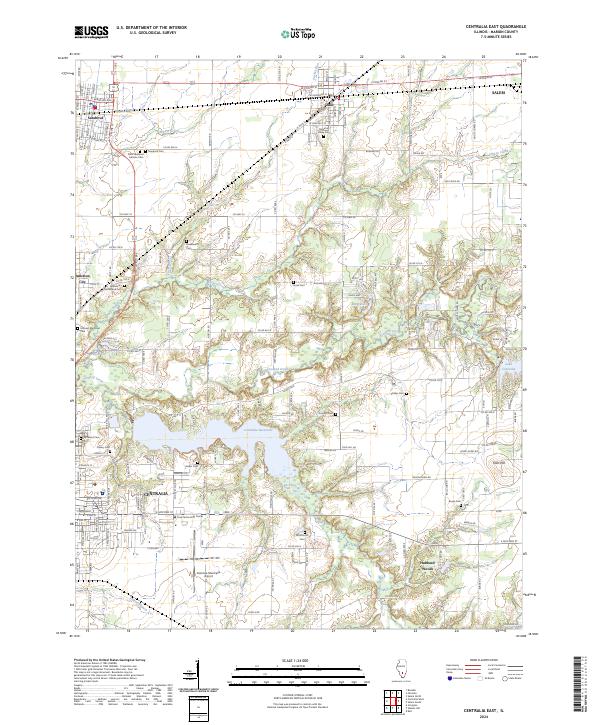
1970 Centralia East
Marion County, IL
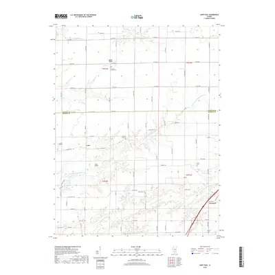
1970 Fairman
Marion County, IL
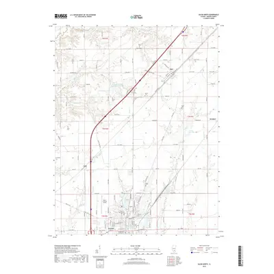
1985 St. Paul
Marion County, IL
2012 Centralia East
Marion County, IL
2012 Fairman
Marion County, IL
2012 Omega
Marion County, IL
2012 Saint Paul
Marion County, IL
2012 Salem North
Marion County, IL
2012 Salem South
Marion County, IL
2015 Centralia East
Marion County, IL
2015 Fairman
Marion County, IL
2015 Omega
Marion County, IL
2015 Saint Paul
Marion County, IL
2015 Salem North
Marion County, IL
2015 Salem South
Marion County, IL
2018 Centralia East
Marion County, IL
2018 Fairman
Marion County, IL
2018 Omega
Marion County, IL
2018 Saint Paul
Marion County, IL
2018 Salem North
Marion County, IL
2018 Salem South
Marion County, IL
2021 Centralia East
Marion County, IL
2021 Fairman
Marion County, IL
2021 Omega
Marion County, IL
2021 Saint Paul
Marion County, IL
2021 Salem North
Marion County, IL
2021 Salem South
Marion County, IL
2024 Centralia East
Marion County, IL
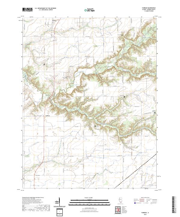
2024 Fairman
Marion County, IL
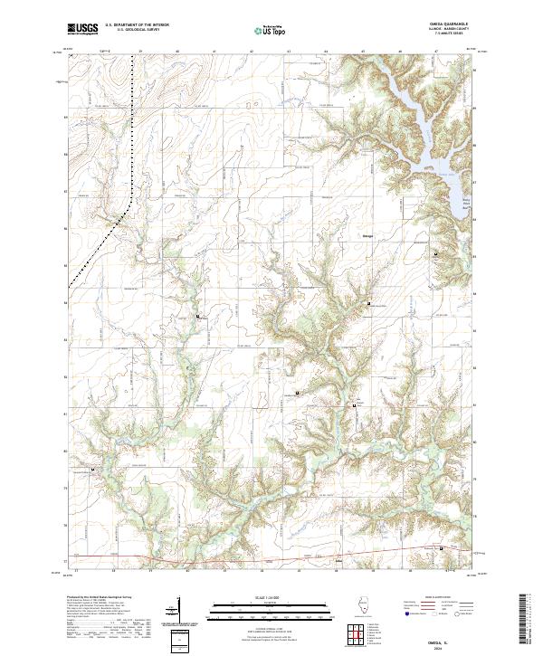
2024 Omega
Marion County, IL
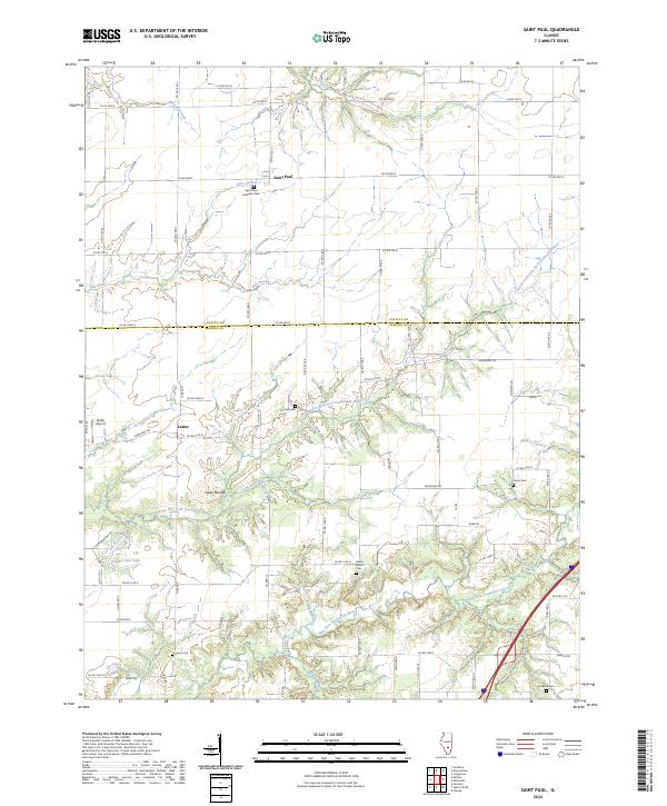
2024 Saint Paul
Marion County, IL
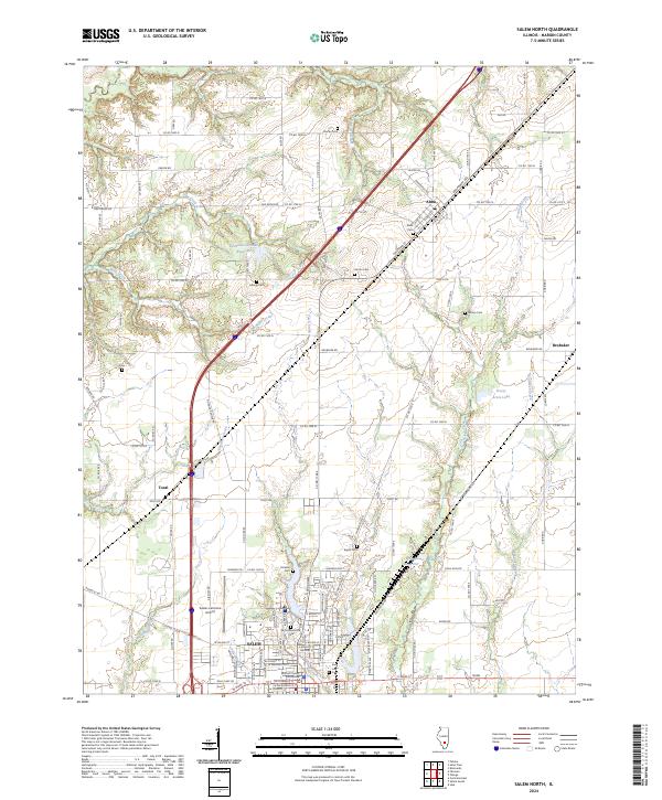
2024 Salem North
Marion County, IL
2024 Salem South
Marion County, IL