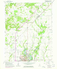
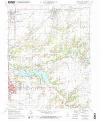
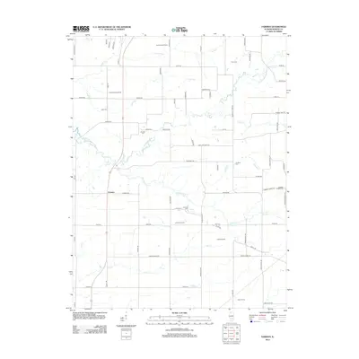
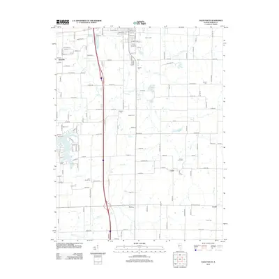
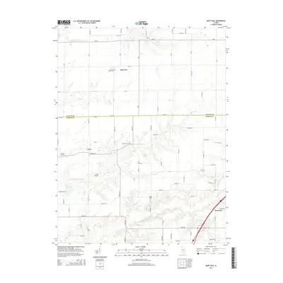
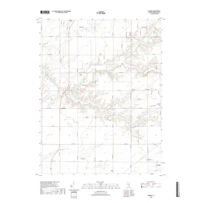
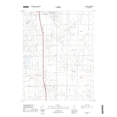
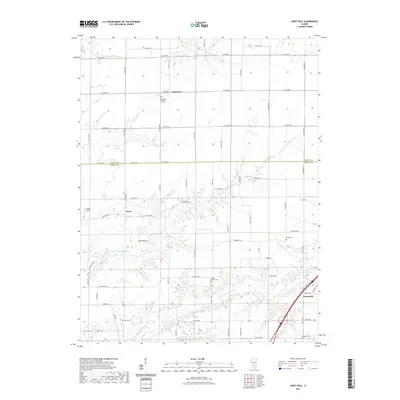
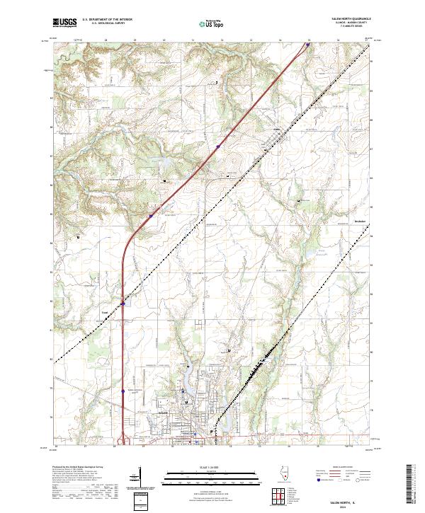
1965 Map of Salem North
USGS Topo · Published 1978About this map
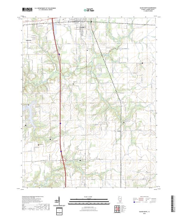
Salem anchors the southern edge of this mid-1960s landscape, which transitioned into the late 1970s with significant transportation updates. The Illinois Central Gulf railroad cuts a diagonal path through the prairie, passing through the village of Alma, while the emergence of modern infrastructure is visible in the expansions around Salem Leckrone Airport. The rural character is defined by a dense network of family cemeteries and country parishes, including Martin Cem, Allmon Cem, and Green Ridge Ch, which serve as vital markers for local genealogy. To the south, the city's recreational and civic life is centered on Bryan Memorial Park and the Salem Reservoir. Waterways like Crooked Creek and Davidson Creek snake through the wooded bottomlands, illustrating the natural drainage patterns of northern Marion County before more intensive modern development altered the creek beds.
Find a feature on this map
47 named features on this map. Tap any name to fly to it.
Don’t see what you’re looking for? This feature index may not catch every label — zoom into the map to look around manually.
Map Details
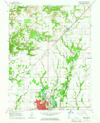
Editions of this 1965 Salem North Map
2 editions found
Historical Maps of Salem Through Time
36 maps found
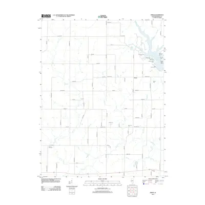
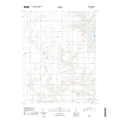
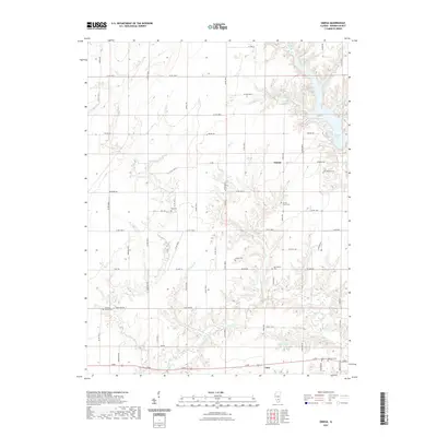
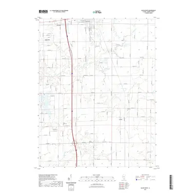
1965 Omega
Marion County, IL
1965 Salem North
Marion County, IL
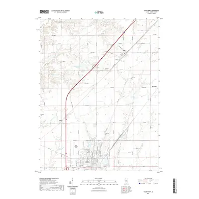
1965 Salem South
Marion County, IL
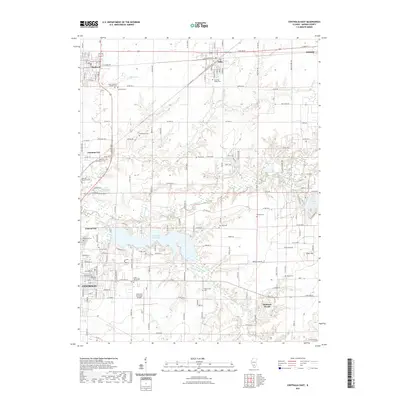
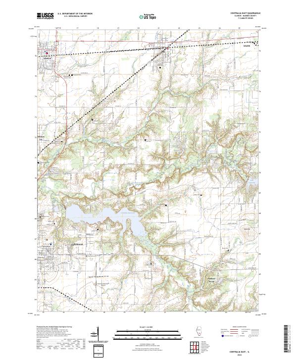
1970 Centralia East
Marion County, IL
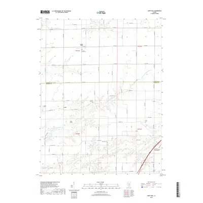
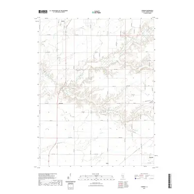
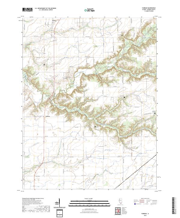
1970 Fairman
Marion County, IL
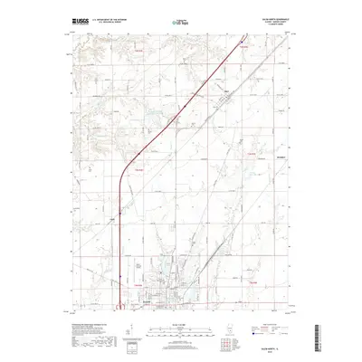
1985 St. Paul
Marion County, IL
2012 Centralia East
Marion County, IL
2012 Fairman
Marion County, IL
2012 Omega
Marion County, IL
2012 Saint Paul
Marion County, IL
2012 Salem North
Marion County, IL
2012 Salem South
Marion County, IL
2015 Centralia East
Marion County, IL
2015 Fairman
Marion County, IL
2015 Omega
Marion County, IL
2015 Saint Paul
Marion County, IL
2015 Salem North
Marion County, IL
2015 Salem South
Marion County, IL
2018 Centralia East
Marion County, IL
2018 Fairman
Marion County, IL
2018 Omega
Marion County, IL
2018 Saint Paul
Marion County, IL
2018 Salem North
Marion County, IL
2018 Salem South
Marion County, IL
2021 Centralia East
Marion County, IL
2021 Fairman
Marion County, IL
2021 Omega
Marion County, IL
2021 Saint Paul
Marion County, IL
2021 Salem North
Marion County, IL
2021 Salem South
Marion County, IL
2024 Centralia East
Marion County, IL
2024 Fairman
Marion County, IL
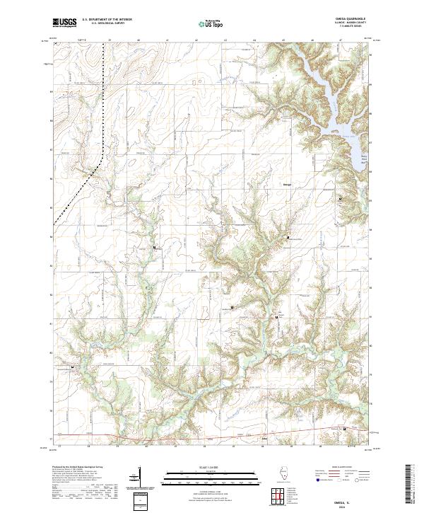
2024 Omega
Marion County, IL
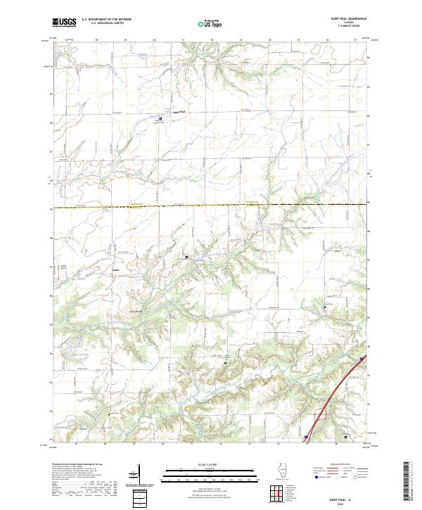
2024 Saint Paul
Marion County, IL
2024 Salem North
Marion County, IL
2024 Salem South
Marion County, IL