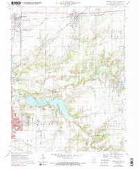
1970 Map of Centralia East
USGS Topo · Published 1990About this map
The industrial and civic landscape of Marion County is defined by the intersection of major rail lines and the expansion of water resources around 1970. The Baltimore and Ohio and Missouri-Illinois railroads crisscross the northern townships of Sandoval and Odin, connecting these small settlements to the larger regional hub of Centralia. The emergence of the Raccoon Lake and Lake Centralia illustrates the mid-century shift toward managed water supplies and recreation, as seen at the Community Beach Park.
Find a feature on this map
63 named features on this map. Tap any name to fly to it.
Don’t see what you’re looking for? This feature index may not catch every label — zoom into the map to look around manually.
Map Details
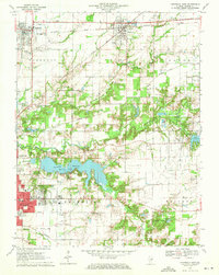
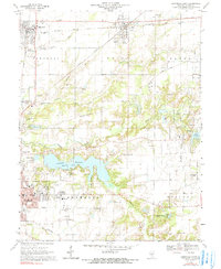
Editions of this 1970 Centralia East Map
3 editions found
Other maps of this area

1914 · Centralia
USGS Topo · 1:62,500

1933 · Mount Vernon
USGS Topo · 1:48,000

1934 · Salem
USGS Topo · 1:62,500

1935 · Centralia
USGS Topo · 1:62,500

1938 · Salem
USGS Topo · 1:62,500

1940 · Mount Vernon
USGS Topo · 1:62,500

1943 · Ashley
USGS Topo · 1:62,500

1946 · Ashley
USGS Topo · 1:62,500

1958 · Belleville
USGS Topo · 1:250,000

1962 · Belleville
USGS Topo · 1:250,000