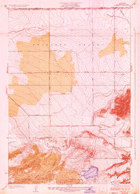
1937 Map of Fairmont
USGS Topo · Published 1937About this map
The high desert landscape of Antelope Valley transitions into the steep canyons of the Angeles National Forest in this 1937 survey. The settlement of Fairmont serves as a focal point at the base of Fairmont Butte, situated along a network of section-line roads like Neenach Road and Avenue D. This era captures critical infrastructure development in Southern California, most notably the winding path of the Los Angeles Aqueduct as it feeds into the Fairmont Reservoir. The map illustrates a rigid grid system imposed upon the alluvial plains, with numbered thoroughfares such as 190th Street West and 170th Street West defining the rural blocks. To the south, the terrain breaks into deeply incised drainages including Kings Canyon, Price Canyon, and Myrick Canyon, showing the geographic divide between the open valley floor and the mountainous forest boundary.
Find a feature on this map
28 named features on this map. Tap any name to fly to it.
Don’t see what you’re looking for? This feature index may not catch every label — zoom into the map to look around manually.
Map Details
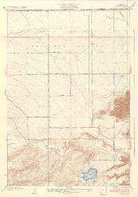
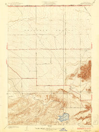
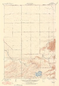
Editions of this 1937 Fairmont Map
4 editions found
Other maps of this area

1903 · Tejon
USGS Topo · 1:125,000

1915 · Elizabeth Lake
USGS Topo · 1:125,000

1917 · Elizabeth Lake
USGS Topo · 1:125,000

1931 · Warm Spring
USGS Topo · 1:24,000

1931 · Little Buttes
USGS Topo · 1:24,000

1932 · Lake
USGS Topo · 1:24,000

1932 · Hughes Lake
USGS Topo · 1:24,000

1932 · Fairmont
USGS Topo · 1:24,000

1933 · Manzana
USGS Topo · 1:24,000

1934 · Little Buttes
USGS Topo · 1:24,000