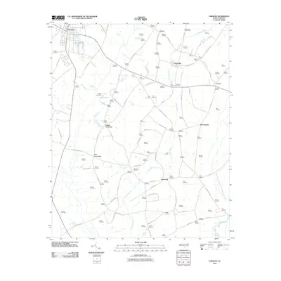
2010 Map of Fairmont
USGS Topo · Published 2010About this map
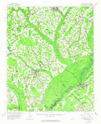
Fairmont stands at the northwestern corner of this landscape, where the Pitman Mill Branch feeds into a network of wetlands and small agricultural communities. This 2010 survey illustrates the deep-rooted family history of rural Robeson County, documented through a dense distribution of family burial grounds such as Bullock Cemetery, Atkinson Cemetery, and Hedgpeth Cemetery. The drainage pattern is dominated by the Big Indian Swamp and its tributaries, which dictate the placement of local settlements like Proctorville and Barnesville.
Find a feature on this map
107 named features on this map. Tap any name to fly to it.
Don’t see what you’re looking for? This feature index may not catch every label — zoom into the map to look around manually.
Map Details
Editions of this 2010 Fairmont Map
This is the sole edition of this map. No revisions or reprints were ever made.
Other maps of this area
1943 · Pages Mill
USGS Topo · 1:62,500
1953 · Chadbourn
USGS Topo · 1:62,500

1953 · Florence
USGS Topo · 1:250,000

1954 · Florence
USGS Topo · 1:250,000
1957 · Bladenboro
USGS Topo · 1:62,500
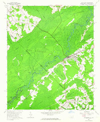
1962 · Fair Bluff
USGS Topo · 1:24,000
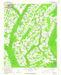
1962 · Fairmont
USGS Topo · 1:24,000
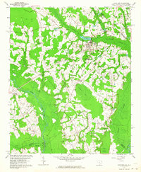
1962 · Lake View
USGS Topo · 1:24,000
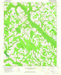
1962 · Gaddysville
USGS Topo · 1:24,000
1962 · Fair Bluff
USGS Topo · 1:62,500