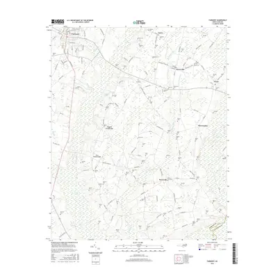
2016 Map of Fairmont
USGS Topo · Published 2016About this map
Fairmont stands as the primary hub in this portion of Robeson County, where the street grid transitions into a landscape defined by expansive Carolina bays and swampy lowlands. The area's agricultural and rural character is evidenced by the high density of family-named burial sites, such as the Byrd Cemeteries, Atkinson Cem, and Bethea Cem, which are scattered among the fields. Small communities like Proctorville, Barnesville, and Orrum serve as focal points for the surrounding countryside, connected by a network of rural roads that skirt around water features like Big Indian Swamp and Hog Swamp. The southern edge of the quadrangle is marked by the Lumber River, which forms the border with Columbus County. This survey provides a clear view of the dispersed settlement patterns and the persistence of family landholdings in the North Carolina coastal plain during the early 21st century.
Find a feature on this map
151 named features on this map. Tap any name to fly to it.
Don’t see what you’re looking for? This feature index may not catch every label — zoom into the map to look around manually.
Map Details
Editions of this 2016 Fairmont Map
This is the sole edition of this map. No revisions or reprints were ever made.
Other maps of this area

1943 · Pages Mill
USGS Topo · 1:62,500

1953 · Chadbourn
USGS Topo · 1:62,500

1953 · Florence
USGS Topo · 1:250,000

1954 · Florence
USGS Topo · 1:250,000

1957 · Bladenboro
USGS Topo · 1:62,500

1962 · Fair Bluff
USGS Topo · 1:24,000

1962 · Fairmont
USGS Topo · 1:24,000

1962 · Lake View
USGS Topo · 1:24,000

1962 · Gaddysville
USGS Topo · 1:24,000

1962 · Fair Bluff
USGS Topo · 1:62,500