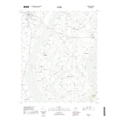
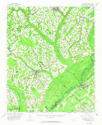
2019 Map of Fairmont
USGS Topo · Published 2019About this map
The town of Fairmont anchors the northwestern corner of this landscape, where a dense grid of streets including S Main St and Iona St gives way to the agricultural expanses of Robeson County. This region is defined by an intricate network of wetlands, such as Hog Swamp and Ashpole Swamp, which wind between family-named crossroads and small agricultural hubs. Notable clusters of settlement appear at Leggett Crossroads and Ivey Crossroads, while the eastern portion of the map is punctuated by more dispersed locales like Bloomingdale and Orrum.
Find a feature on this map
148 named features on this map. Tap any name to fly to it.
Don’t see what you’re looking for? This feature index may not catch every label — zoom into the map to look around manually.
Map Details
Editions of this 2019 Fairmont Map
This is the sole edition of this map. No revisions or reprints were ever made.
Other maps of this area
1943 · Pages Mill
USGS Topo · 1:62,500
1953 · Chadbourn
USGS Topo · 1:62,500

1953 · Florence
USGS Topo · 1:250,000

1954 · Florence
USGS Topo · 1:250,000
1957 · Bladenboro
USGS Topo · 1:62,500
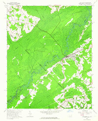
1962 · Fair Bluff
USGS Topo · 1:24,000
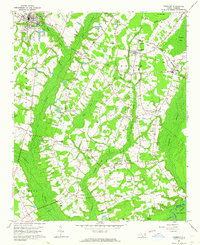
1962 · Fairmont
USGS Topo · 1:24,000
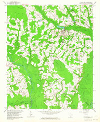
1962 · Lake View
USGS Topo · 1:24,000
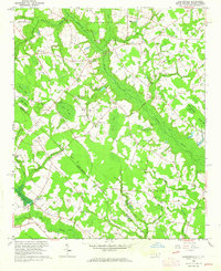
1962 · Gaddysville
USGS Topo · 1:24,000
1962 · Fair Bluff
USGS Topo · 1:62,500