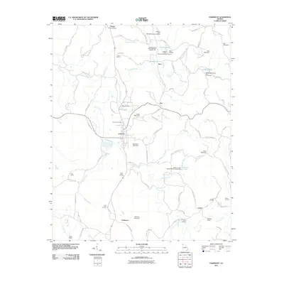
2011 Map of Fairmount
USGS Topo · Published 2011About this map
Fairmount and the surrounding Georgia countryside are defined by a complex network of ridges and water management structures that support the agricultural life of Salacoa Valley. The terrain is characterized by prominent peaks like Ramsaeur Mountain and Carter Mountain, while the hydrology is marked by numerous dams and impoundments, including Salacoa Creek Watershed Dam Number 100 and Takila Lake Dam. These structures manage the flow of Salacoa Creek and its many tributaries, creating essential water resources for the local communities.
Find a feature on this map
94 named features on this map. Tap any name to fly to it.
Don’t see what you’re looking for? This feature index may not catch every label — zoom into the map to look around manually.
Map Details
Editions of this 2011 Fairmount Map
This is the sole edition of this map. No revisions or reprints were ever made.
Other maps of this area

1886 · Dalton
USGS Topo · 1:125,000

1890 · Cartersville
USGS Topo · 1:125,000

1891 · Cartersville
USGS Topo · 1:125,000

1892 · Dalton
USGS Topo · 1:125,000

1896 · Cartersville
USGS Topo · 1:125,000

1897 · Dalton
USGS Topo · 1:125,000

1914 · Talking Rock
USGS Topo · 1:62,500

1916 · Talking Rock
USGS Topo · 1:62,500

1941 · Adairsville
USGS Topo · 1:62,500

1944 · Adairsville
USGS Topo · 1:62,500