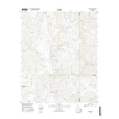
2017 Map of Fairmount
USGS Topo · Published 2017About this map
Fairmount serves as the central hub of this North Georgia landscape, where the borders of Gordon, Pickens, Bartow, and Cherokee counties converge. The area is defined by a series of prominent peaks, including Carter Mtn, Ramsaeur Mtn, and Johnson Mtn, which overlook the fertile drainage of Salacoa Cr. Local geography is deeply rooted in family history, evidenced by numerous small burial grounds such as the Lewis Family Cem and Erwin Family Cem. The settlement pattern follows the contours of the land, with communities like Ryo, Bobo, and Funkhouser established along the drainage of Pinhook Cr and the various branches feeding into Salacoa Valley. This 2017 survey details the complex network of rural roads and ridges that have shaped the development of these foothill communities for generations.
Find a feature on this map
98 named features on this map. Tap any name to fly to it.
Don’t see what you’re looking for? This feature index may not catch every label — zoom into the map to look around manually.
Map Details
Editions of this 2017 Fairmount Map
This is the sole edition of this map. No revisions or reprints were ever made.
Other maps of this area

1886 · Dalton
USGS Topo · 1:125,000

1890 · Cartersville
USGS Topo · 1:125,000

1891 · Cartersville
USGS Topo · 1:125,000

1892 · Dalton
USGS Topo · 1:125,000

1896 · Cartersville
USGS Topo · 1:125,000

1897 · Dalton
USGS Topo · 1:125,000

1914 · Talking Rock
USGS Topo · 1:62,500

1916 · Talking Rock
USGS Topo · 1:62,500

1941 · Adairsville
USGS Topo · 1:62,500

1944 · Adairsville
USGS Topo · 1:62,500