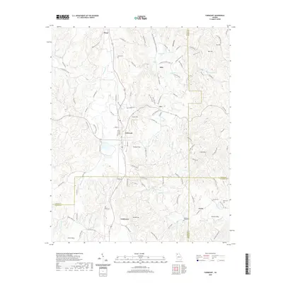
2020 Map of Fairmount
USGS Topo · Published 2020About this map
Fairmount occupies a central position on this Georgia terrain where the lower Appalachian foothills begin to rise, marked by prominent elevations like Ramsaeur Mtn and Carter Mtn. The landscape is defined by the watershed of Salacoa Cr and Pinhook Cr, which weave through narrow valleys between these peaks. The spatial distribution of several genealogical sites, including the Shiloh Cem to the north and the Richardson Family Cem to the south, indicates a long history of family-centered settlement across this part of Gordon and Bartow counties. Smaller rural communities like Ryo, Funkhouser, and Greely are connected by a network of winding mountain roads such as Black Knob Church Rd and Possum Hollow Rd SE. The map illustrates the persistent rural character of Salacoa Valley, where residential clusters remain anchored to the topography of the ridges and creeks.
Find a feature on this map
109 named features on this map. Tap any name to fly to it.
Don’t see what you’re looking for? This feature index may not catch every label — zoom into the map to look around manually.
Map Details
Editions of this 2020 Fairmount Map
This is the sole edition of this map. No revisions or reprints were ever made.
Other maps of this area

1886 · Dalton
USGS Topo · 1:125,000

1890 · Cartersville
USGS Topo · 1:125,000

1891 · Cartersville
USGS Topo · 1:125,000

1892 · Dalton
USGS Topo · 1:125,000

1896 · Cartersville
USGS Topo · 1:125,000

1897 · Dalton
USGS Topo · 1:125,000

1914 · Talking Rock
USGS Topo · 1:62,500

1916 · Talking Rock
USGS Topo · 1:62,500

1941 · Adairsville
USGS Topo · 1:62,500

1944 · Adairsville
USGS Topo · 1:62,500