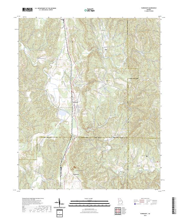
2024 Map of Fairmount
USGS Topo · Published 2024About this map
The community of Fairmount serves as a central hub in this northern Georgia landscape, where the CSX Transportation line cuts through a series of prominent ridges and valleys. The topography is defined by significant elevations such as Carter Mtn and Ramsaeur Mtn, with the waters of Salacoa Creek and its many tributaries, including Ninetynine Branch and Fuller Branch, draining the lowland reaches.
Find a feature on this map
111 named features on this map. Tap any name to fly to it.
Don’t see what you’re looking for? This feature index may not catch every label — zoom into the map to look around manually.
Map Details
Editions of this 2024 Fairmount Map
This is the sole edition of this map. No revisions or reprints were ever made.
Other maps of this area

1886 · Dalton
USGS Topo · 1:125,000

1890 · Cartersville
USGS Topo · 1:125,000

1891 · Cartersville
USGS Topo · 1:125,000

1892 · Dalton
USGS Topo · 1:125,000

1896 · Cartersville
USGS Topo · 1:125,000

1897 · Dalton
USGS Topo · 1:125,000

1914 · Talking Rock
USGS Topo · 1:62,500

1916 · Talking Rock
USGS Topo · 1:62,500

1941 · Adairsville
USGS Topo · 1:62,500

1944 · Adairsville
USGS Topo · 1:62,500