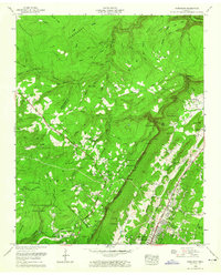
1958 Map of Fairmount
USGS Topo · Published 1959About this map
Cumberland Escarpment creates a dramatic divide across this late 1950s landscape, separating the high plateaus of the Prentice Cooper State Forest from the developing residential pockets above Chattanooga. The map details the transition of mountain communities like Signal Mountain and Fairmount, where residential growth is shown through an increasing density of home sites and public institutions such as the Nathan L Bachman School and Signal Mountain Chapel. Beyond the town centers, the land remains defined by sharp relief, visible in the deep cut of The Gulf and the prominent Buzzard Point. Evidence of local industry and infrastructure appears in the strip mine near Lone Oak and the winding path of the William Howard Taft Highway. Family history is preserved through numerous small burial grounds and rural landmarks, including Hall Cem, Vandergriff Cem, and Schuylkill Chapel.
Find a feature on this map
97 named features on this map. Tap any name to fly to it.
Don’t see what you’re looking for? This feature index may not catch every label — zoom into the map to look around manually.
Map Details
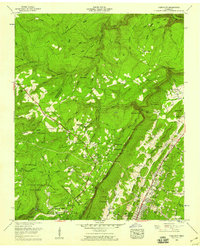
Editions of this 1958 Fairmount Map
2 editions found
Other maps of this area

1888 · Chattanooga
USGS Topo · 1:125,000

1893 · Chattanooga
USGS Topo · 1:125,000

1935 · East Chattanooga
USGS Topo · 1:24,000

1935 · Daisy
USGS Topo · 1:24,000

1935 · Soddy
USGS Topo · 1:24,000

1936 · Daus
USGS Topo · 1:24,000

1936 · Henson Gap
USGS Topo · 1:24,000

1936 · Ketner Gap
USGS Topo · 1:24,000

1936 · Fairmount
USGS Topo · 1:24,000

1936 · Wauhatchie
USGS Topo · 1:24,000